Early access is open: we issue API keys by hand

The location platform built for Iraq.

Maps, search and routing from our own Iraq data and servers. Arabic labels shaped correctly, addresses people actually use, and request shapes your Mapbox code already speaks.

  • Free developer tier
  • Billed in IQD
  • Mapbox-compatible
Scenes

Arabic first
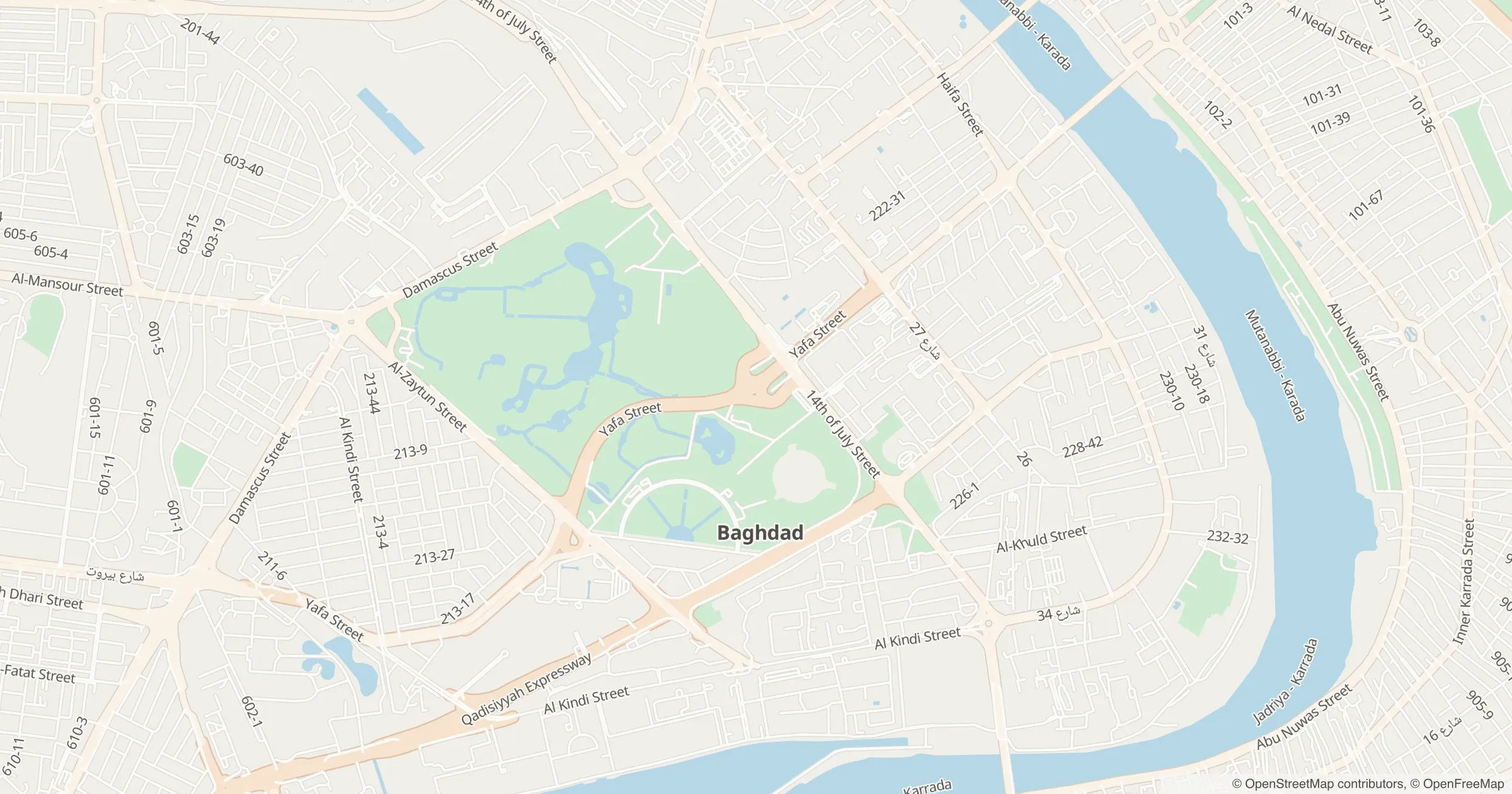
Map labels in Arabic or English; Kurdish names in search where the data has them.
Billed in dinar
Per request, with a hard quota ceiling.
Mapbox-compatible
Same request shapes. Swap the host.
From OpenStreetMap
Roads, places and tiles, built on our own servers.

The platform

Seven products, one key.

Every product runs on our own Iraq data and servers, and each one says honestly where it stands today.

Maps

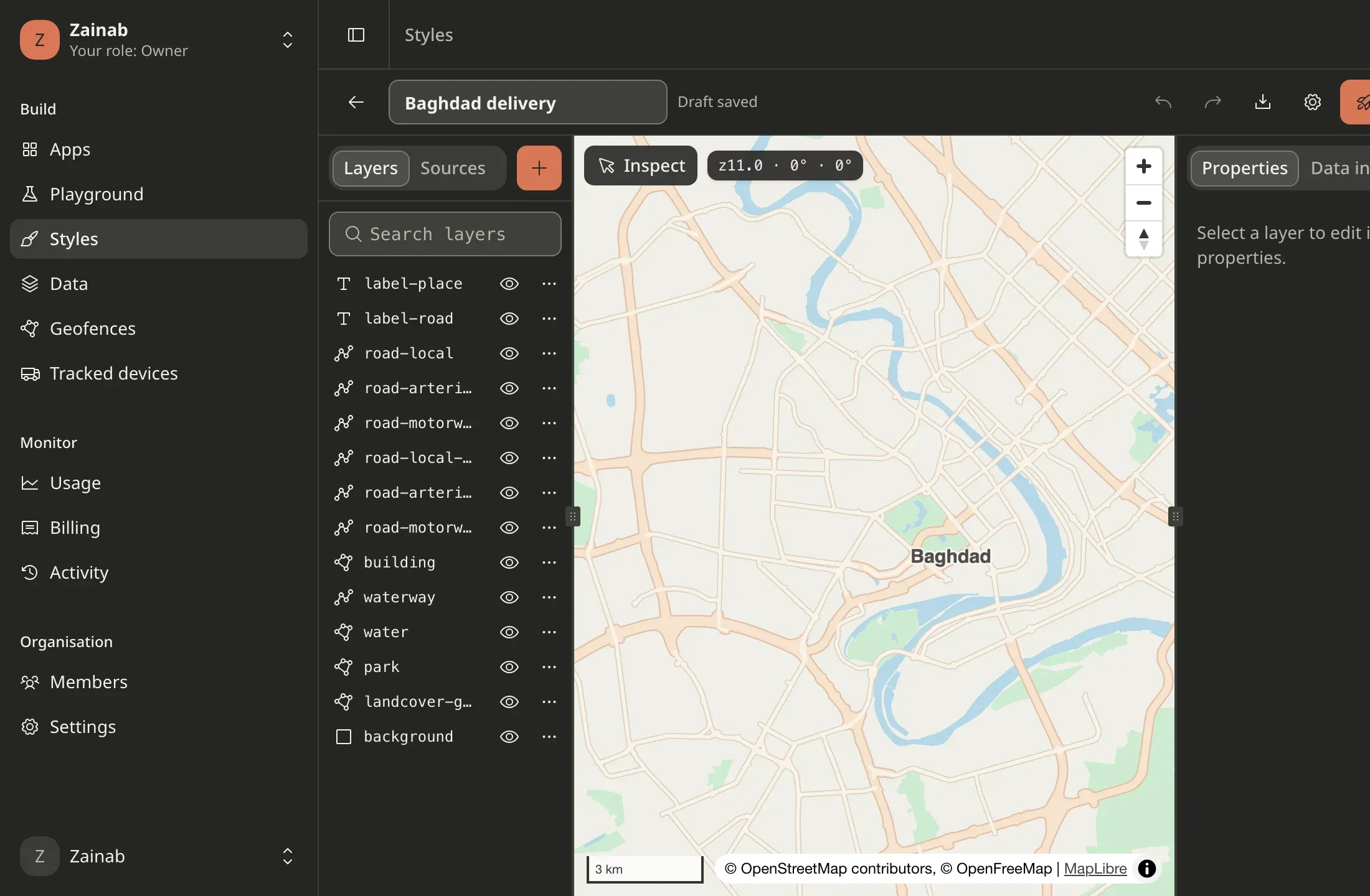
Maps of Iraq that read right to left.

Vector styles for MapLibre, raster tiles for Leaflet, map images from one URL and a drop-in widget, all from one basemap built from OpenStreetMap on our own servers. Arabic labels are shaped correctly on the server and in the browser.

  • 1 live
  • 3 in early access
  • 2 in development
  • 3 not available yet
Explore Maps
Styles, map images, tiles and embeds from our own Iraq data.

Search

Search that understands how Iraq writes.

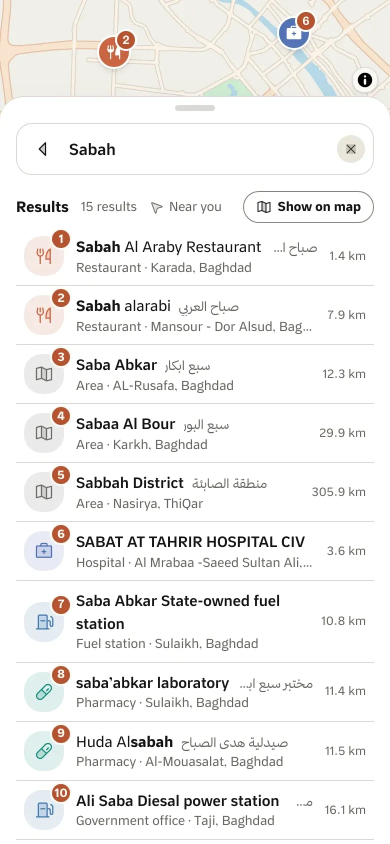
Search Iraq’s places, streets and areas in Arabic or English with spelling variants folded together, and turn any point into the address people actually use: district, nearest street, nearest landmark and a plus code.

  • 5 in early access
Explore Search
Places, streets, addresses and plus codes, spelled the way people spell them.

Navigation & routing

Routes that know Iraq’s roads.

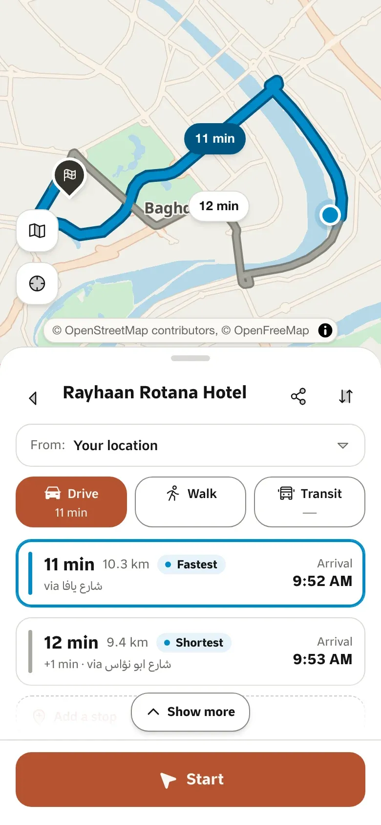
Directions by car and on foot, travel-time matrices, map matching and stop ordering on a road graph built for Iraq, in the request and response shapes your Mapbox or OSRM code already uses.

  • 1 live
  • 4 in early access
  • 1 in development
  • 1 not available yet
Explore Navigation & routing
Directions, travel-time matrices, map matching and trip ordering on Iraq’s roads.

Transit

Kia and abra, as a trip plan.

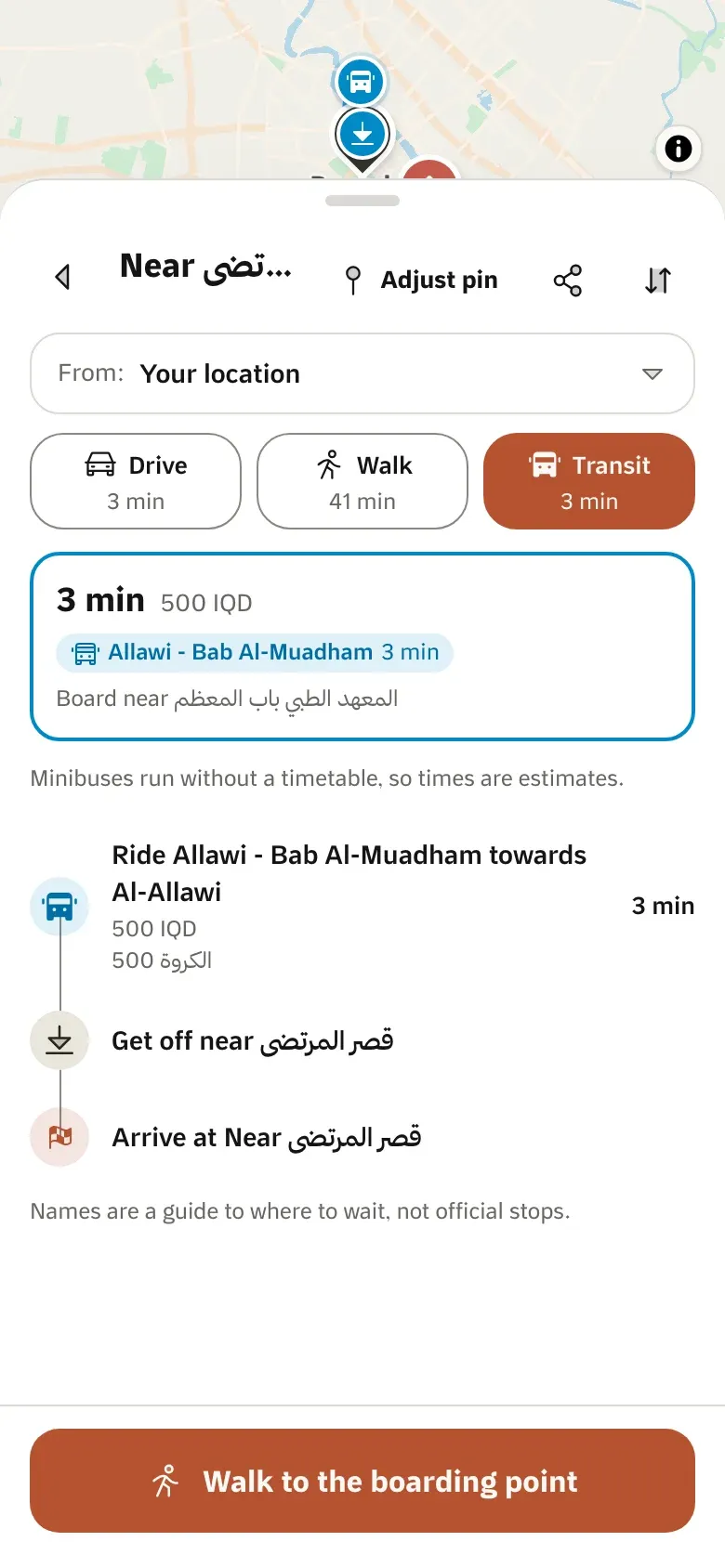
Baghdad’s minibus (kia) and river-crossing (abra) lines as an API: where to walk, where to board, which line to ride, where to get off and what it costs.

  • 1 live
  • 1 in early access
Explore Transit
Baghdad’s kia and river-crossing lines, as trip plans with fares.

Data & tracking

Your data and your fleet, on Iraq’s map.

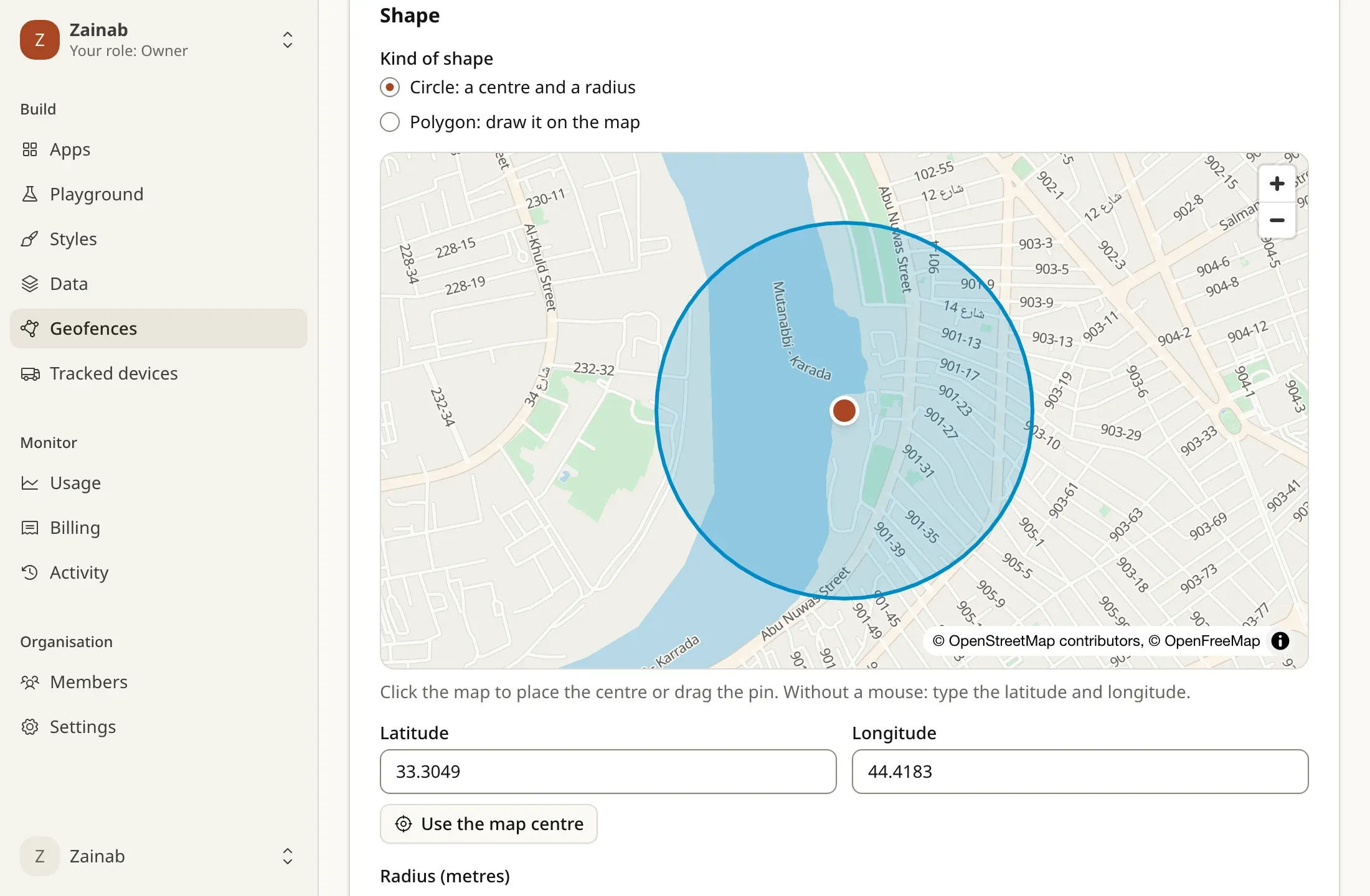
Upload your own data as map layers, follow devices in and out of the areas you draw, send customers a live tracking link, and receive every event on your server, signed.

  • 1 in early access
  • 5 in development
Explore Data & tracking
Tareky Console
Your data on the map, your fleet in and out of areas, events to your servers.

Developer tools

Everything you need to build, in one place.

Public and secret keys with origins and scopes, an API reference generated from the spec the API is checked against, an MCP server for AI agents, and a console for apps, usage and billing.

  • 1 live
  • 2 in early access
  • 3 in development
Explore Developer tools
Tareky Console
Keys, the API reference, the MCP server and the console.

Apps

We drive on it every day.

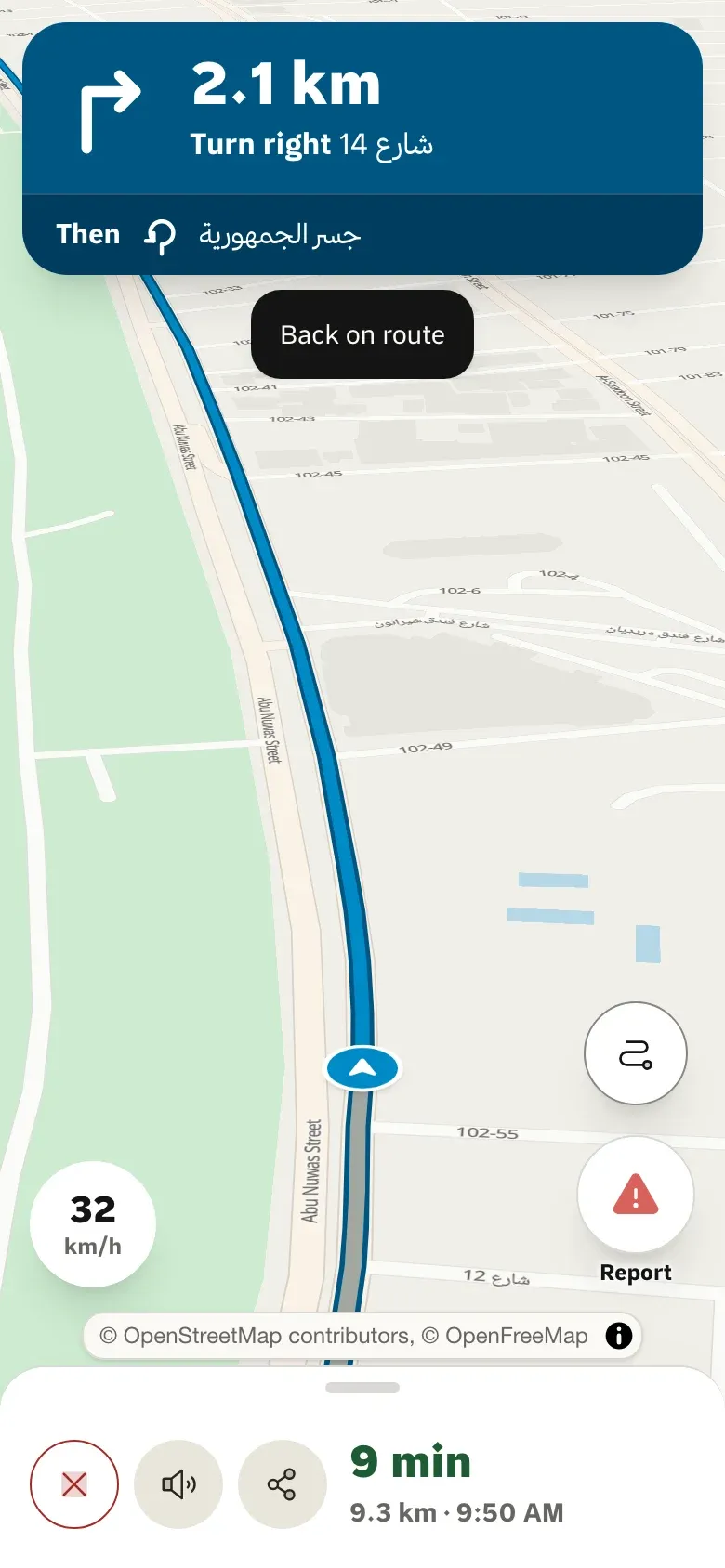
Tareky Maps, our own app, runs on the same platform: search, routes, turn-by-turn guidance in Arabic, live ETA sharing and road reports from other drivers.

  • 3 live
  • 2 in development
Explore Apps
Tareky Maps on the web, and our apps for phones and cars.

Built for

What teams in Iraq build with it.

What teams in Iraq build with it.

Deliveries that find the door.

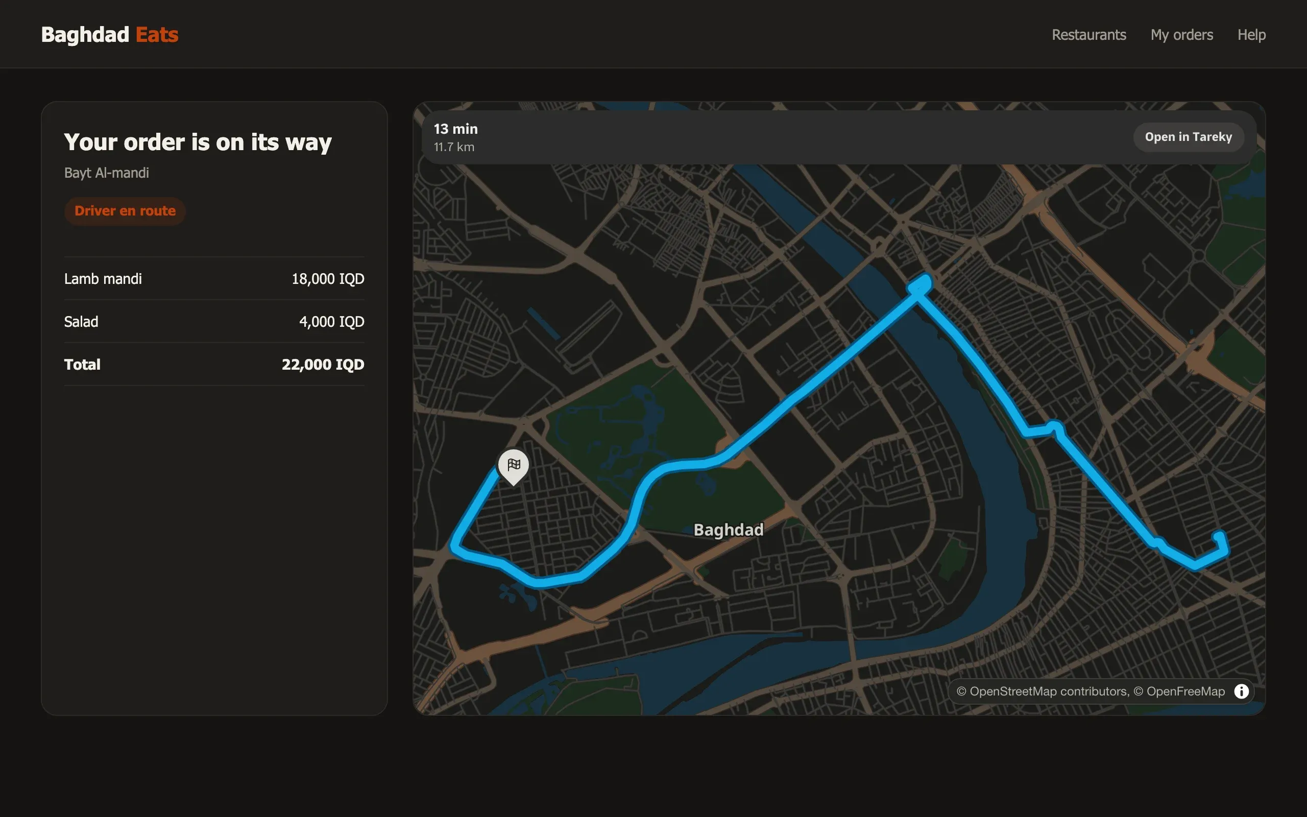
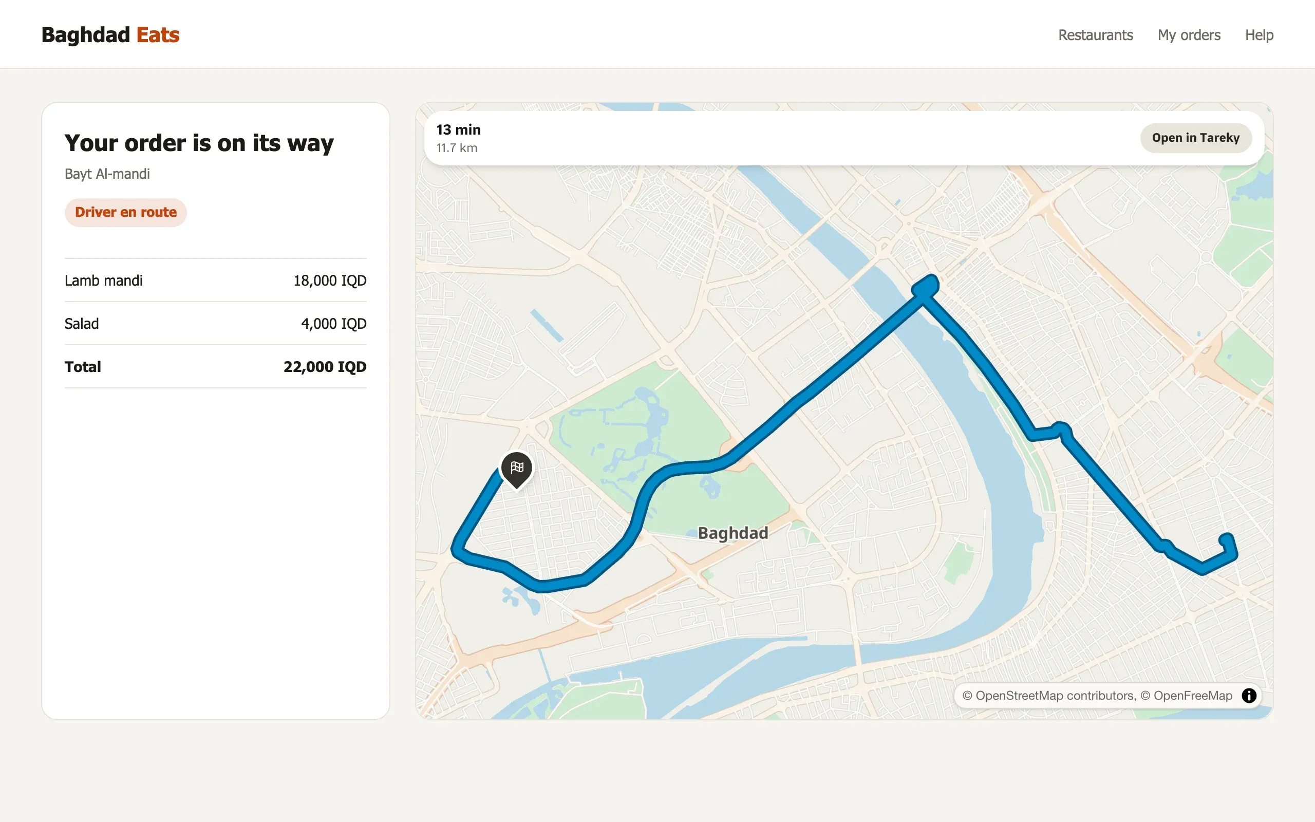
In Iraq an address is a district, a street and a landmark. Tareky turns that into a point a driver can reach, orders the day’s stops, and gives your customer a page that follows the courier to the door.

  1. Find the door
  2. Plan the day
  3. Tell the customer
  • 7 in early access
  • 2 in development
See the solution
baghdadeats.example/orders/1042
Find the door, plan the day, tell the customer.

Pickups at the right corner, times you can stand behind.

Riders describe a pickup by its landmark, drivers need the fastest road, and both want to know when. Tareky answers all three on Iraq’s own road graph.

  1. Find the pickup
  2. Price and dispatch
  3. During the trip
  • 1 live
  • 6 in early access
  • 2 in development
See the solution
Pickups at the right corner, fair times, trips people can follow.

Show buyers the neighbourhood, not just the house.

A listing sells on what is around it. Put every property on a map, show the schools, hospitals and markets nearby with real travel times, and keep your brand’s look.

  1. Listing maps
  2. What is nearby
  3. Your brand and your data
  • 1 live
  • 6 in early access
  • 2 in development
See the solution
Listing maps, what is nearby and commute times.

Put your figures on the map of Iraq.

Join a spreadsheet to governorate or district boundaries and get a map your team reads at a glance, styled in your colours and shared as a live map or an image.

  1. Your figures on the boundaries
  2. Read it at a glance
  3. Share it
  • 4 in early access
  • 2 in development
See the solution
Tareky Console
Your figures on Iraq’s governorates and districts.

Maps for public services, Arabic first.

Publish road closures where drivers will see them, plan public transport on the lines people really ride, and give every citizen an address that works.

  1. Roads and incidents
  2. Public transport
  3. Addresses and data
  • 1 live
  • 4 in early access
  • 2 in development
See the solution
Closures, public transport and addresses, Arabic first.
All solutions

Built on the platform

We run our own app on it.

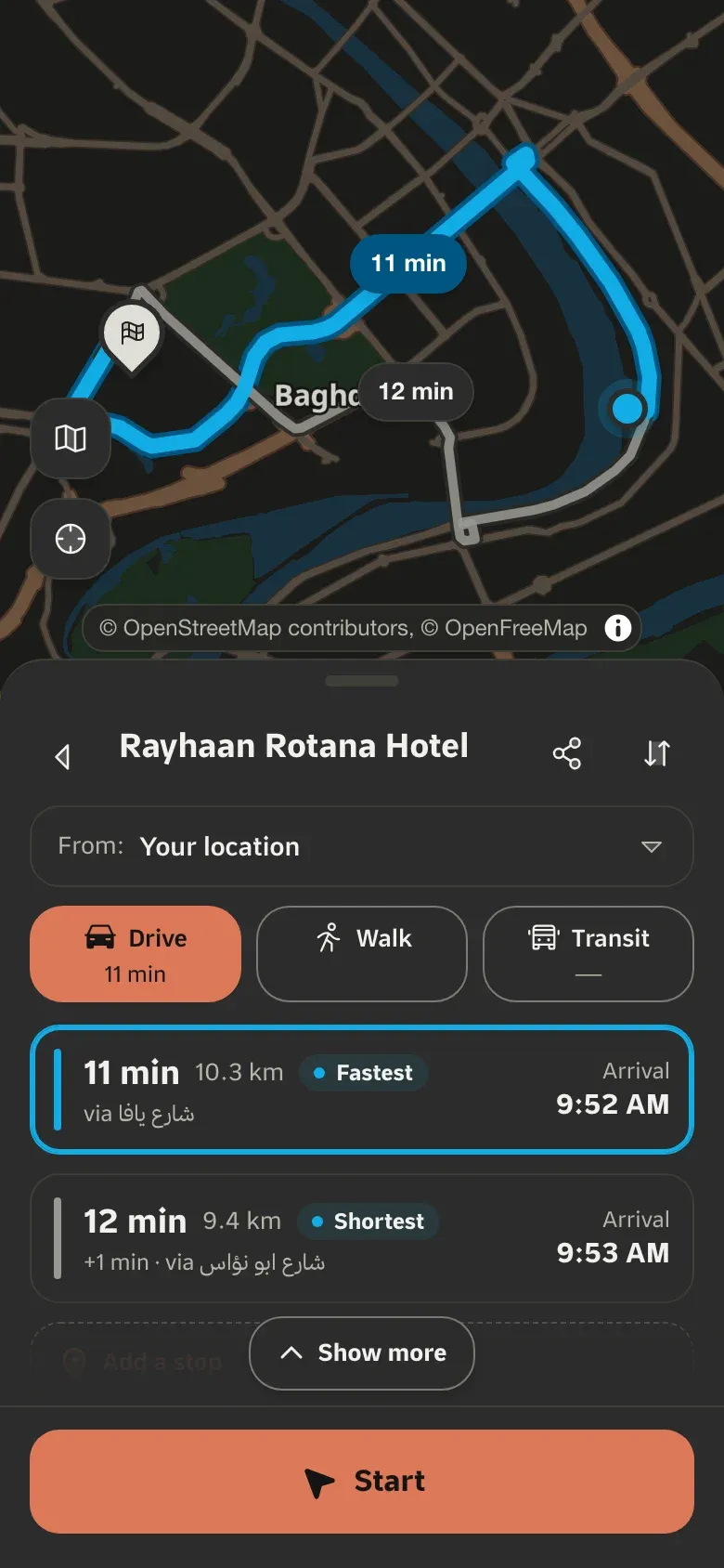
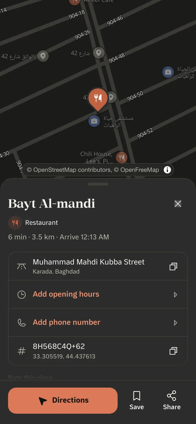
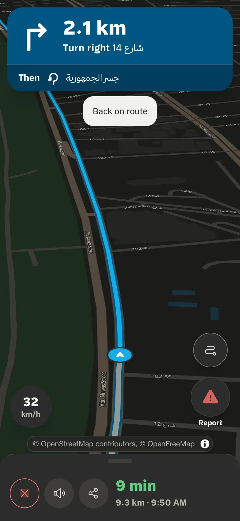
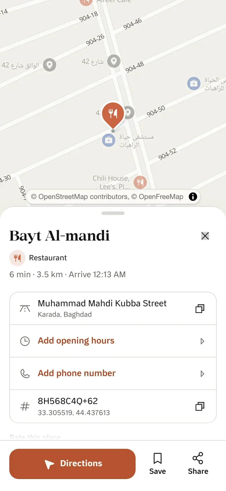
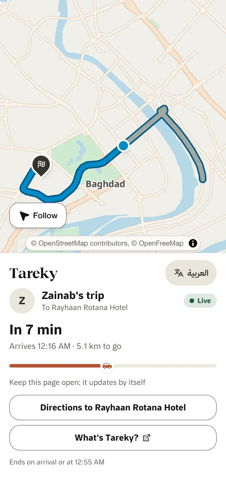
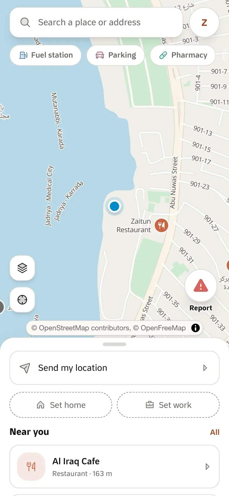
Tareky Maps, our own map app, runs on the same servers and data you will call. Every screen below is a real screenshot, refreshed from the app itself.

Explore

Explore

Maps · nearby places

Place details

Place details

Places · directions ETA

Route preview

Route preview

Directions with alternatives

Turn-by-turn

Turn-by-turn

Live incidents · voice in Arabic

Live ETA link

Live ETA link

Live ETA sharing

Developers

One key. Shapes you already know.

A public tareky_pk_ key works in a browser or an app, locked to your sites and scopes. A secret tareky_sk_ key stays on your server. Every response carries your remaining limits, and every error has the same shape.

GET
/v1/styles/{theme}
GET
/v1/tiles/{theme}/{z}/{x}/{y}
GET
/v1/static-map/{theme}/{coords}/{size}
GET
/v1/locations/geocode
GET
/v1/locations/reverse-geocode
GET
/v1/poi/nearby
GET
/v1/tilequery/{lng},{lat}
GET
/v1/directions/{profile}/{coordinates}
GET
/v1/matrix/{profile}/{coordinates}
GET
/v1/match/{profile}/{coordinates}
GET
/v1/optimize/{profile}/{coordinates}
GET
/v1/transit/plan/{points}
POST
/v1/geofences
POST
/v1/tracking/devices/{id}/positions
GET
/v1/feeds/cifs.json

Typed TypeScript SDK, generated from the OpenAPI spec.

a secret key, from a server
# Directions, in Mapbox Directions’ shape
curl -H "Authorization: Bearer $TAREKY_SECRET_KEY" \
"https://api.tareky.com/v1/directions/driving/44.4183,33.3049;44.3650,33.3118"
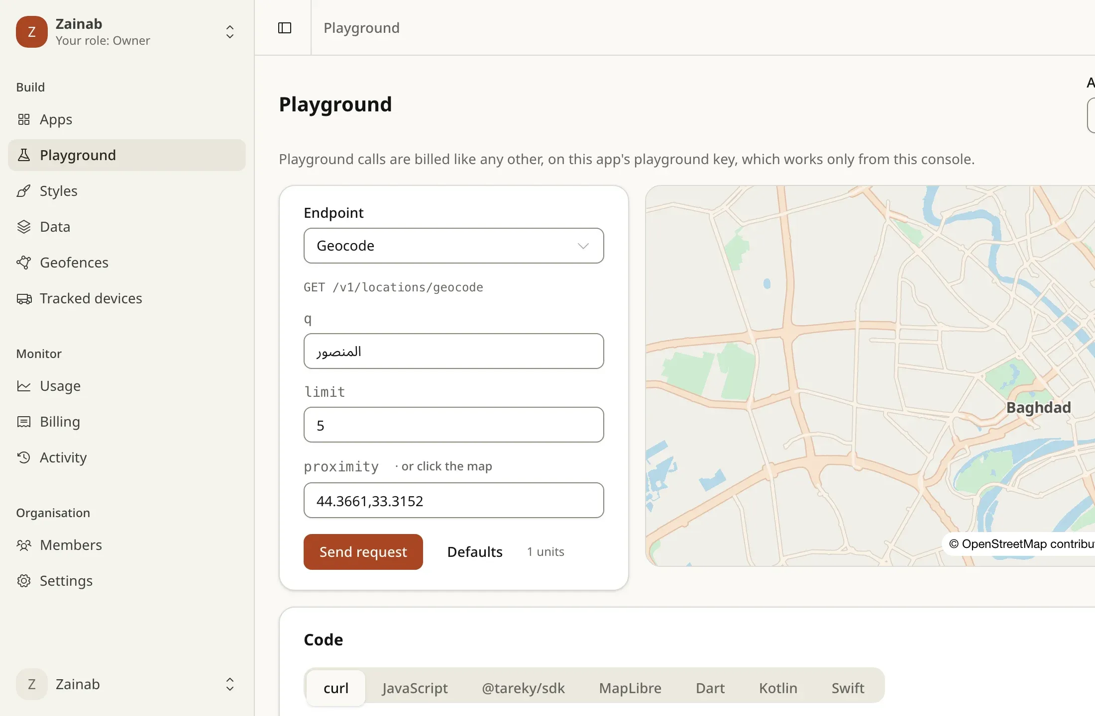
# Search: الكراده finds الكرادة
curl -H "Authorization: Bearer $TAREKY_SECRET_KEY" \
--get "https://api.tareky.com/v1/locations/geocode" --data-urlencode "q=الكراده"
# An address people actually use
curl -H "Authorization: Bearer $TAREKY_SECRET_KEY" \
"https://api.tareky.com/v1/locations/reverse-geocode?lng=44.3661&lat=33.3152"

Built for Iraq

Global map platforms stop at the border.

They assume postal codes and street numbers. In Baghdad, Basra and Erbil that assumption means lost drivers, wrong ETAs and refunded orders.

Addresses without house numbers

Nothing useful back for the محلة / زقاق / دار addresses most people use.

The real administrative tree

Every point resolves to city, district, subdistrict and the nearest named street, plus a plus code.

Landmarks ignored

Directions skip how people here give them: قرب جامع, مقابل مستشفى.

Nearest-landmark answers

Reverse geocoding returns the nearest place and its distance, a sentence a customer recognises.

Arabic labels reversed

بغداد renders as دادغب without a plugin most apps never load.

Shaped correctly everywhere

Server-rendered images and tiles are shaped on our side; MapLibre v6 shapes the rest.

Billing in dollars

FX spreads, card lockouts and pricing that assumes a US corporate card.

Priced and invoiced in IQD

Metered per request with a hard ceiling: a runaway loop spends a quota, not your money.

Why a map built in Iraq

Pricing

A free plan, and ceilings on every plan.

Billed per successful request, invoiced in dinar. Paid prices are on request while we open.

See plans and limits
  • Free

    No charge

    50,000 units a month

  • Starter

    Price on request

    1,000,000 units a month

  • Pro

    Price on request

    10,000,000 units a month

FAQ

Questions developers ask first

Which APIs can I build on today?

Maps (vector styles and raster tiles), static maps, search and geocoding, routing, transit, incident feeds and the MCP server are ready under /v1, in early access: we issue keys by hand while the console opens. The embed widget is live. Tracking links, geofencing and webhooks are built and come next; live traffic is in development. You can’t get a key for anything that hasn’t shipped, by design.

How good is coverage outside Baghdad?

Administrative coverage, the road graph and the map cover the whole country, and more than 40,000 places are searchable. Place density is highest in Baghdad and thinner elsewhere; it grows with each OpenStreetMap refresh and with reviewed submissions from our app.

Do I need a plugin to render Arabic?

No. Static maps and raster tiles are shaped on our servers. For interactive maps, MapLibre GL JS v6 shapes Arabic natively; older versions and Mapbox GL JS need the RTL text plugin or they render بغداد reversed.

What happens if my code loops?

Every call counts against your monthly quota before it runs, with per-second and per-minute limits in front. Over a limit you get a 429 with Retry-After, and every response carries X-RateLimit headers. The free plan stops hard at its quota.

How hard is it to move from Mapbox?

Static maps, directions, matrix, map matching and tilequery use Mapbox’s request and response shapes, and a public key rides in the query string like a Mapbox token. For most code, the migration is changing the host.

Can it run in our own data centre?

That is the Enterprise conversation. The renderer, tiles, routing graph and datasets are ours and can be deployed on your infrastructure. Talk to engineering about residency before assuming a timeline.

API keys are opening soon.

We are opening the developer console in stages. Leave your email and we will tell you the day your keys are ready.

Get early access

Tell us what you need first. We email you once, when it is ready.

What do you need?

هذه الصفحة متوفرة بالعربية أيضًا.

اقرأها بالعربية

ئەم پەڕەیە بە کوردیش هەیە.

بە کوردی بیخوێنەوە