
In development
Tilesets
GeoJSON, CSV, a shapefile, KML, GPX, GeoPackage or GeoTIFF becomes vector, raster or elevation tiles, with several layers per tileset and a CSV join for your own figures. In development, with the console.
Tareky Console
Data & tracking
Upload your own data as map layers, follow devices in and out of the areas you draw, send customers a live tracking link, and receive every event on your server, signed.
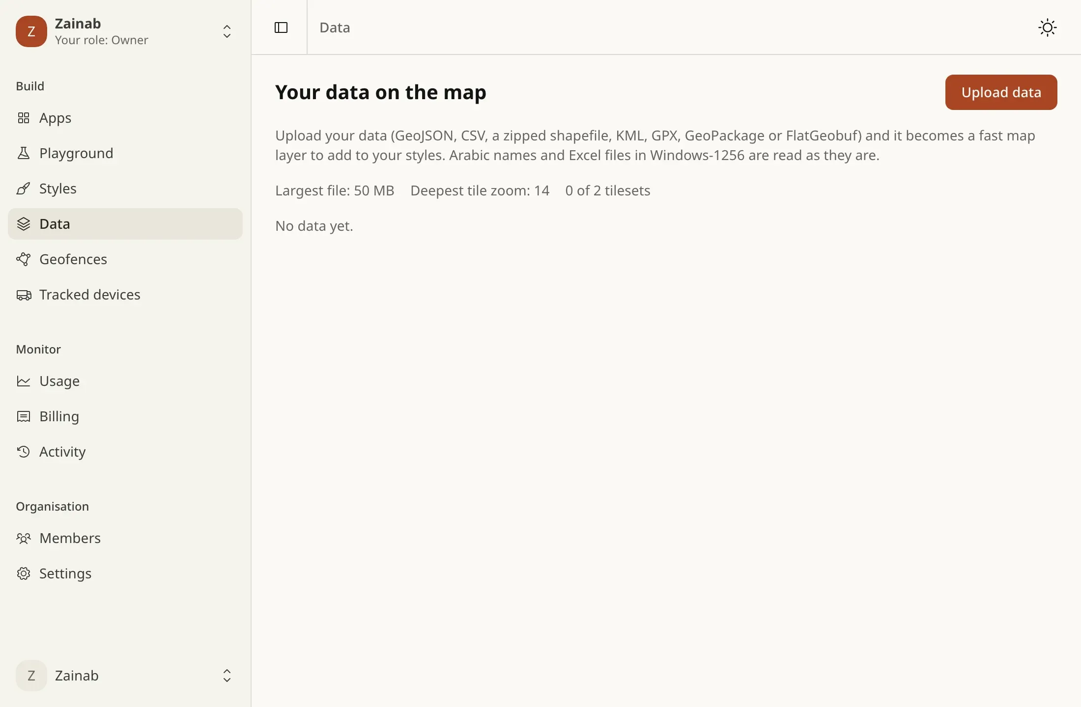
CSV in Windows-1256, Excel exports, Arabic column names and coordinates in UTM are read as they are.
Enter and exit events wait for a position good enough to be sure, so a device on the edge does not fire twenty events.
Webhooks follow Standard Webhooks: signed with your secret, retried on failure, every attempt recorded.
GeoJSON, CSV, a shapefile, KML, GPX, GeoPackage or GeoTIFF becomes vector, raster or elevation tiles, with several layers per tileset and a CSV join for your own figures. In development, with the console.
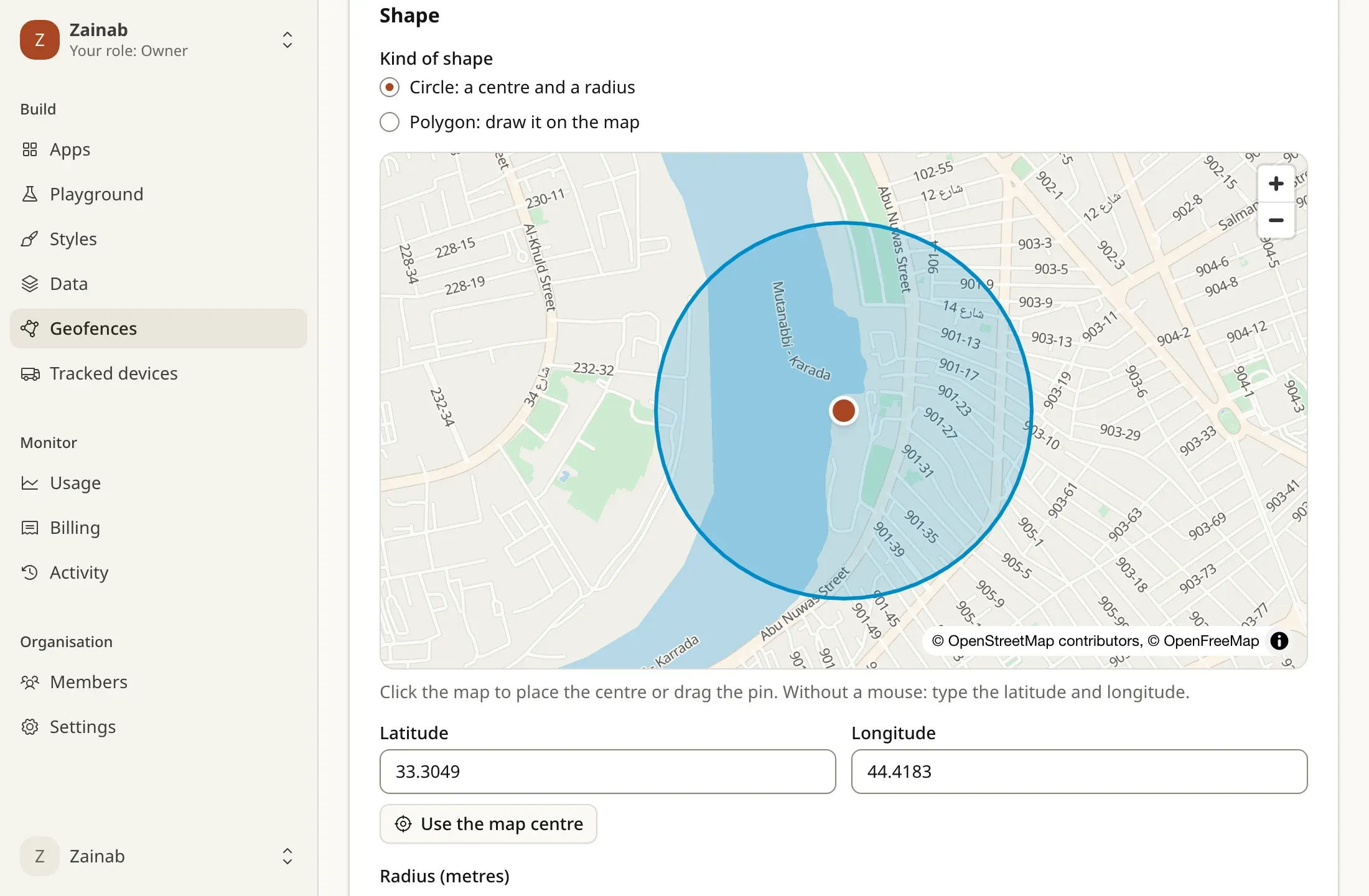
Draw circles and polygons, post device positions, and get enter and exit events without flapping at the edge; each event is kept for 90 days. In development, with the console.
POST /v1/geofencesGeofence, tracking and incident events delivered to your endpoints, signed in the Standard Webhooks format, retried with backoff, every attempt logged. In development, with the console.
Standard Webhooks · whsec_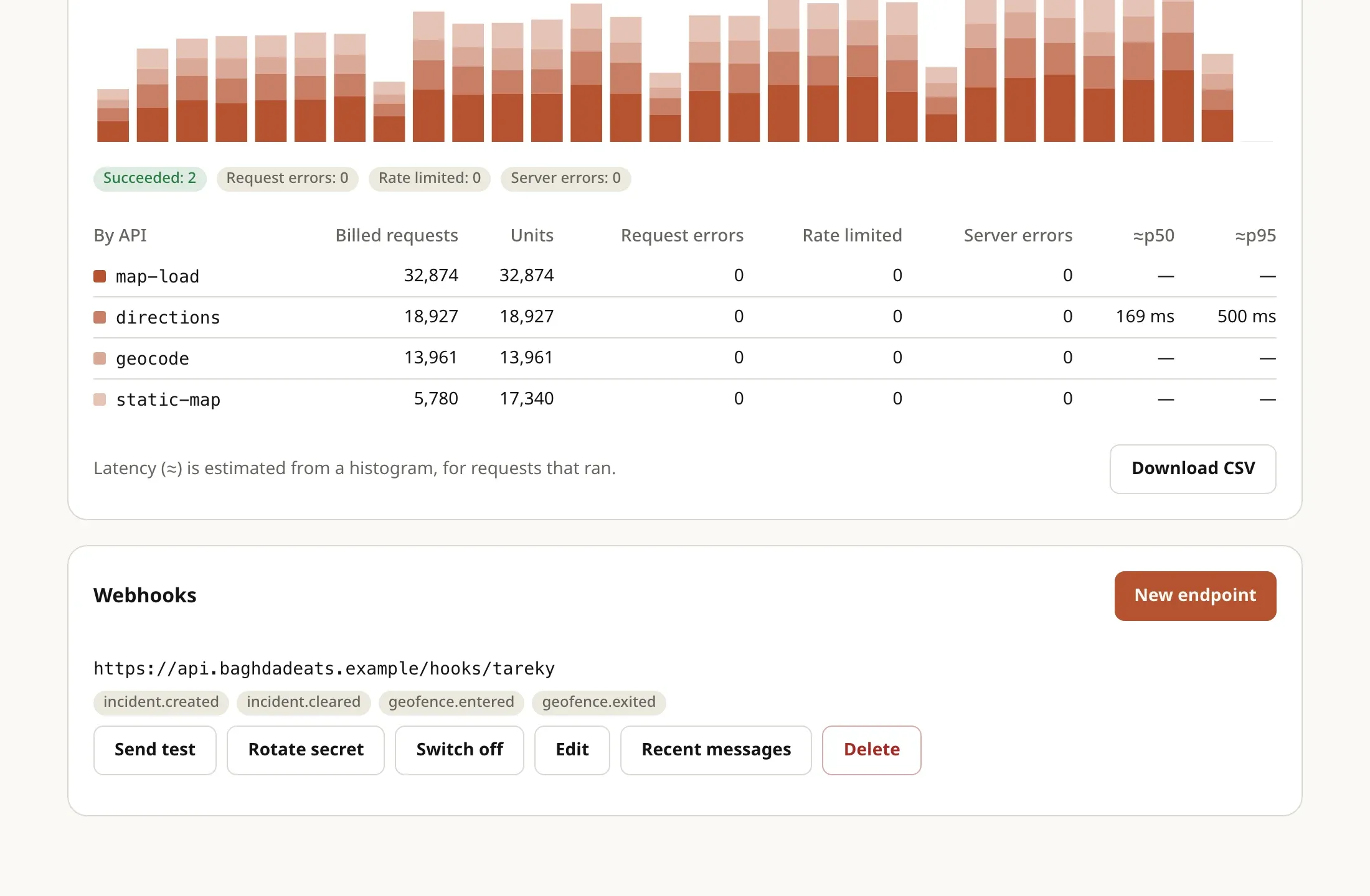
A link for a device, sent to your customer: a live page with the courier on the map and the time to arrive, in the customer’s language. In development, with the console.
POST /v1/tracking/devices/{externalId}/sharesConfirmed road closures and accidents from driver reports, as a CIFS or GeoJSON feed for your systems, and an endpoint to send official closures in.
GET /v1/feeds/cifs.jsonAir quality at 49 points across Iraq as a layer a custom style can draw, refreshed through the day. Source: OpenWeatherMap. In development, with custom styles.
tareky://aqiTareky Maps uses these APIs every day. Every screen here is a screenshot of the app itself, refreshed from the running code.
Open Tareky Maps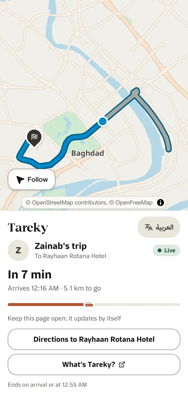
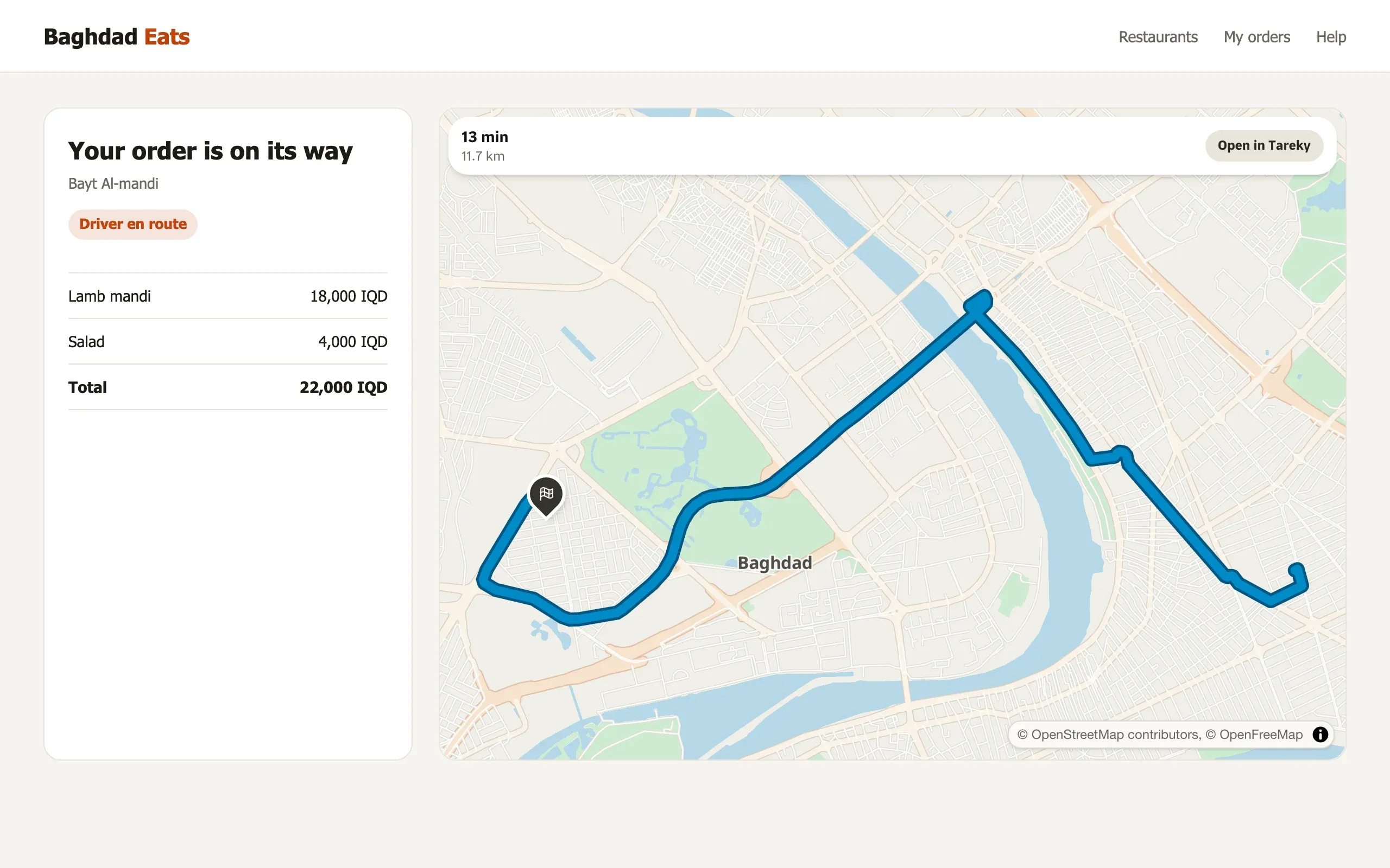
A live ETA link
The person waiting sees the car on the map until it arrives.
# A 600 m circle round the depotcurl -X POST -H "Authorization: Bearer $TAREKY_SECRET_KEY" \ https://api.tareky.com/v1/geofences \ -d '{"name":"Depot","circle":{"center":[44.40,33.31],"radiusM":600}}' # A courier's positions: enter and exit events followcurl -X POST -H "Authorization: Bearer $TAREKY_SECRET_KEY" \ https://api.tareky.com/v1/tracking/devices/courier-7/positions \ -d '{"positions":[{"lng":44.401,"lat":33.312,"t":1767225600000,"accuracyM":8}]}'GeoJSON, CSV, a zipped shapefile, KML, GPX, GeoPackage, FlatGeobuf and GeoTIFF.
Yes: a CSV joins a tileset’s features by a key column, and the result can be styled as a choropleth. This opens with the console.
Incident feeds are in early access. Tilesets, geofences, tracking links, webhooks and the air-quality layer are built and open with the console.
Tell us what you are building. During early access we issue keys by hand, and we email you once when yours are ready.
هذه الصفحة متوفرة بالعربية أيضًا.
اقرأها بالعربيةئەم پەڕەیە بە کوردیش هەیە.
بە کوردی بیخوێنەوە