
Data & economic maps
Put your figures on the map of Iraq.
Join a spreadsheet to governorate or district boundaries and get a map your team reads at a glance, styled in your colours and shared as a live map or an image.
Tilesets, CSV joins and the Studio are built and open with the console. The map on this page uses sample data.
19 governorates
Boundaries with Arabic, English and Kurdish names, and the districts inside them.
Arabic spreadsheets
CSV in Windows-1256 and Arabic column names are read as they are.
Images for reports
A styled map renders as an image for slides and PDFs.
Where its products stand
- 4 in early access
- 2 in development
Sample data
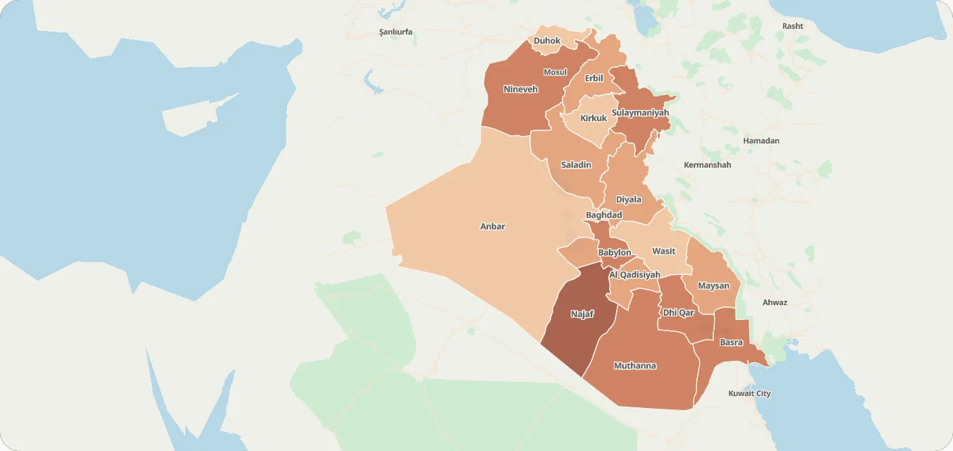
Sample index by governorate
Made-up figures, to show the style.
Governorate
| Governorate | Index |
|---|---|
| Najaf | 91 |
| Nineveh | 79 |
| Babylon | 78 |
| Muthanna | 76 |
| Sulaymaniyah | 74 |
| Basra | 67 |
| Dhi Qar | 65 |
| Saladin | 61 |
| Maysan | 56 |
| Karbala | 54 |
| Erbil | 53 |
| Diyala | 53 |
| Al-Qadisiyah | 52 |
| Baghdad | 45 |
| Kirkuk | 43 |
| Duhok | 41 |
| Anbar | 41 |
| Wasit | 38 |
Map settings
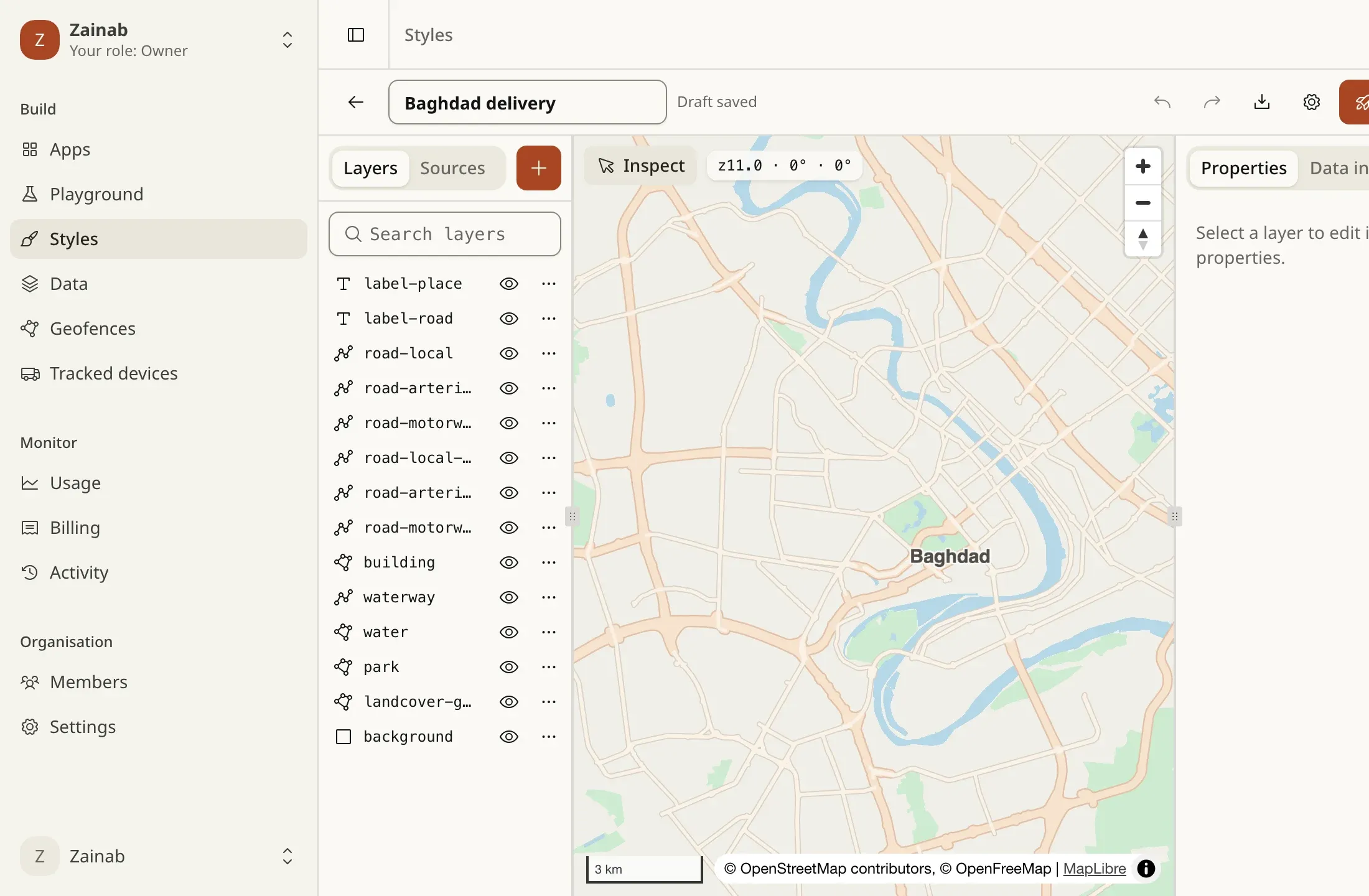
These are custom styles: your colours on our basemap.
What you can build
1 / 3
Your figures on the boundaries
Upload and join
Boundaries from GeoJSON or a shapefile, your figures from a CSV joined by a key column.
TilesetsIn developmentPlace rows that only have a name
Turn city and district names into points with search.
Search & geocodingEarly access
2 / 3
Read it at a glance
Colour each area by your column
A choropleth with a legend, styled in the Studio.
Custom styles & StudioIn developmentShow it in your dashboard
Your data layer on our basemap in MapLibre.
Map stylesEarly access
3 / 3
Share it
Images for reports
The styled map as an image, from one URL.
Static mapsEarly accessUnder your GIS layers
Our basemap as raster tiles in QGIS or other GIS tools.
Raster tilesEarly access
Example scenarios
Illustrations of how a team could use Tareky. They are not customer stories: we have none to tell yet.
A ministry dashboard
Indicators by governorate on one map, exported as an image for the weekly report.
A bank planning branches
Branches and population by district, to see where service is thin.
An NGO’s coverage report
Programme reach by district as a map in every report.
Products in this solution
Questions
Do you provide the statistics?
No. You bring your figures; we provide the boundaries, the join, the styling and the map.
Which boundaries are there?
Iraq’s 19 governorates and their districts, with Arabic, English and Kurdish names. You can also upload your own.
Build on Iraq’s own map.
Tell us what you are building. During early access we issue keys by hand, and we email you once when yours are ready.