
Government & municipalities
Maps for public services, Arabic first.
Publish road closures where drivers will see them, plan public transport on the lines people really ride, and give every citizen an address that works.
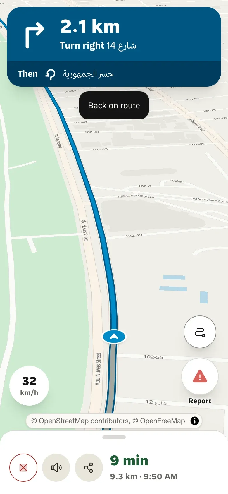
Official closures in
Send a closure once; it reaches drivers using Tareky and the apps that read the feed.
Arabic first
Right-to-left interfaces, Arabic labels and Arabic addresses throughout.
Your identity provider
Single sign-on and provisioning for departments.
Where its products stand
- 1 live
- 4 in early access
- 2 in development
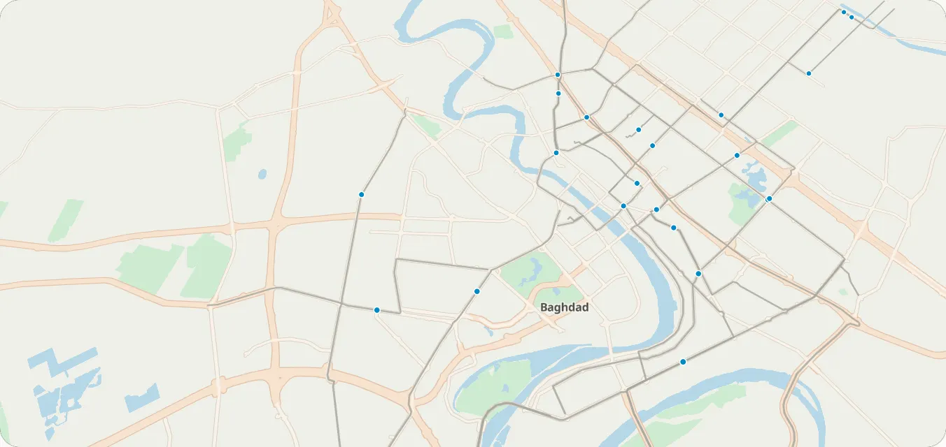
Map settings
These are custom styles: your colours on our basemap.
What you can build
1 / 3
Roads and incidents
Publish official closures
Send closures to the incident feed; confirmed reports come back as CIFS or GeoJSON.
Incident feedsEarly accessSee what drivers report
Accidents, closures and checkpoints reported in one tap and confirmed by others.
Road reportsLive
2 / 3
Public transport
Plan trips on kia and abra lines
Walk, ride and walk plans with fares on 30 Baghdad lines.
Transit trip planningEarly accessMeasure access
Travel times from neighbourhoods to hospitals, schools and offices.
Travel-time matrixEarly access
3 / 3
Addresses and data
An address for every point
District, street and landmark, with a plus code.
Reverse geocodingEarly accessYour datasets as layers
Municipal data uploaded as map layers.
TilesetsIn developmentYour staff, your identity provider
Single sign-on and provisioning for departments.
SSO, SAML & SCIMIn development
Example scenarios
Illustrations of how a team could use Tareky. They are not customer stories: we have none to tell yet.
A traffic directorate
A planned closure is published once and appears in drivers’ maps.
A municipality’s service map
Service centres on a map citizens can search by district.
Transport planning
Which districts are more than 30 minutes from a hospital, by car or by kia.
Products in this solution
Questions
Can it run in our own data centre?
That is a conversation with our engineers: talk to us about residency before assuming a timeline.
How do closures reach drivers?
Through Tareky Maps, and through any partner that reads the incident feed.
Build on Iraq’s own map.
Tell us what you are building. During early access we issue keys by hand, and we email you once when yours are ready.