Map styles
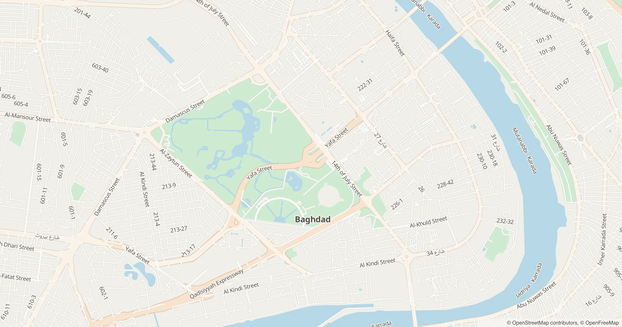
A complete MapLibre style for light or dark, with labels in Arabic or English. Load it in MapLibre GL JS or MapLibre Native: the style is billed once per map load and its tiles are free.
GET /v1/styles/{theme}
Maps
Vector styles for MapLibre, raster tiles for Leaflet, map images from one URL and a drop-in widget, all from one basemap built from OpenStreetMap on our own servers. Arabic labels are shaped correctly on the server and in the browser.

MapLibre GL JS v6 shapes Arabic itself, and our servers shape map images and raster tiles, so بغداد never comes out reversed.
The same light and dark styles drive interactive maps, map images and embeds: a pin looks the same in your app, your receipts and your messages.
A vector map is billed once per load and its tiles are free. Raster tiles and map images are billed per request.
A complete MapLibre style for light or dark, with labels in Arabic or English. Load it in MapLibre GL JS or MapLibre Native: the style is billed once per map load and its tiles are free.
GET /v1/styles/{theme}
A PNG, JPEG or WebP of any place at any size up to 1280 px, with your pin or a route drawn on it. Made for receipts, order pages, WhatsApp and SMS, where a live map cannot run.
GET /v1/static-map/{theme}/{coords}/{size}
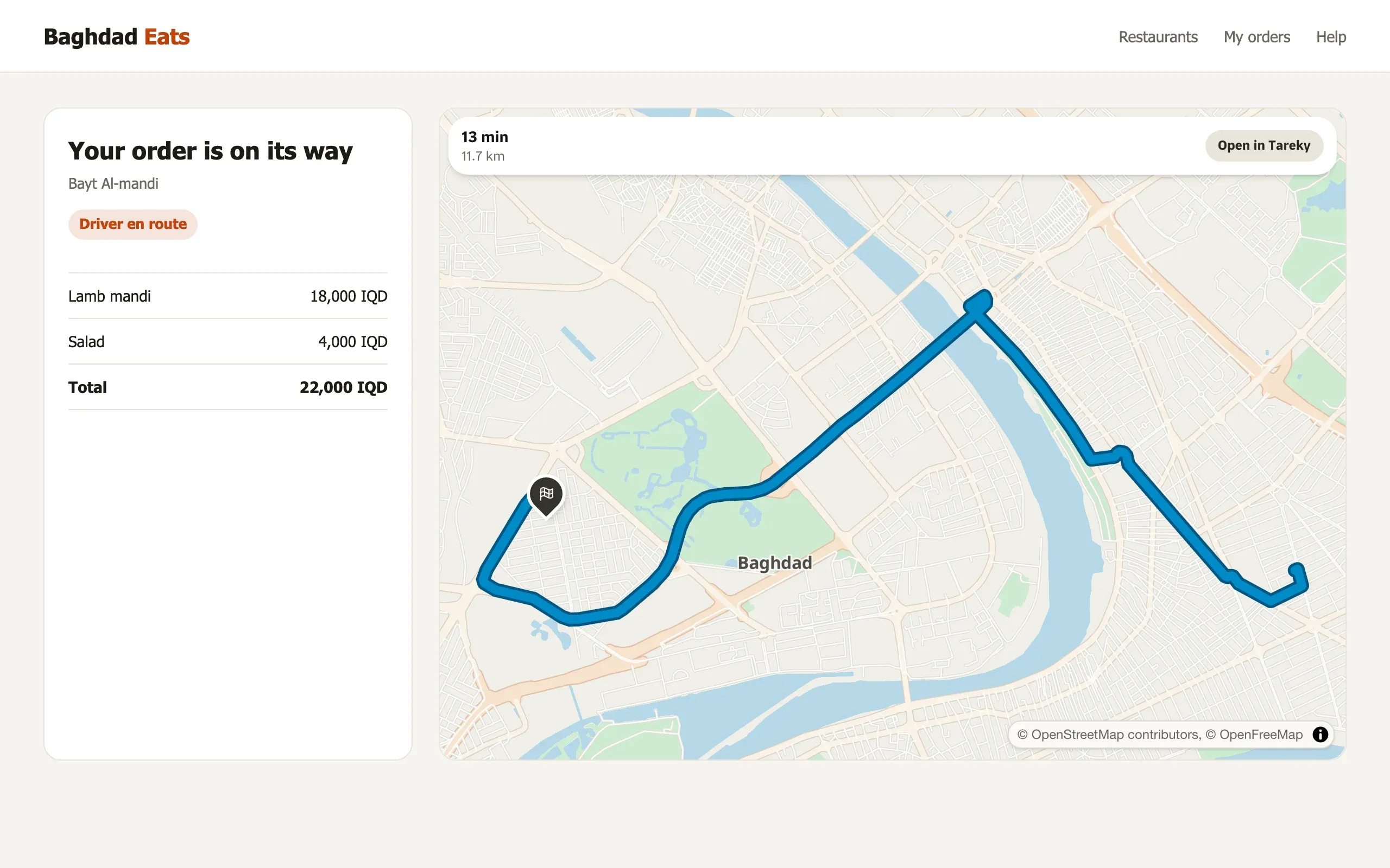
One script tag and Tareky.mount() draws a place, a driving route with its time, or a live delivery track inside your page, in Arabic or English. The script is about 3 KB.
<script src="https://maps.tareky.com/widget.v1.js">
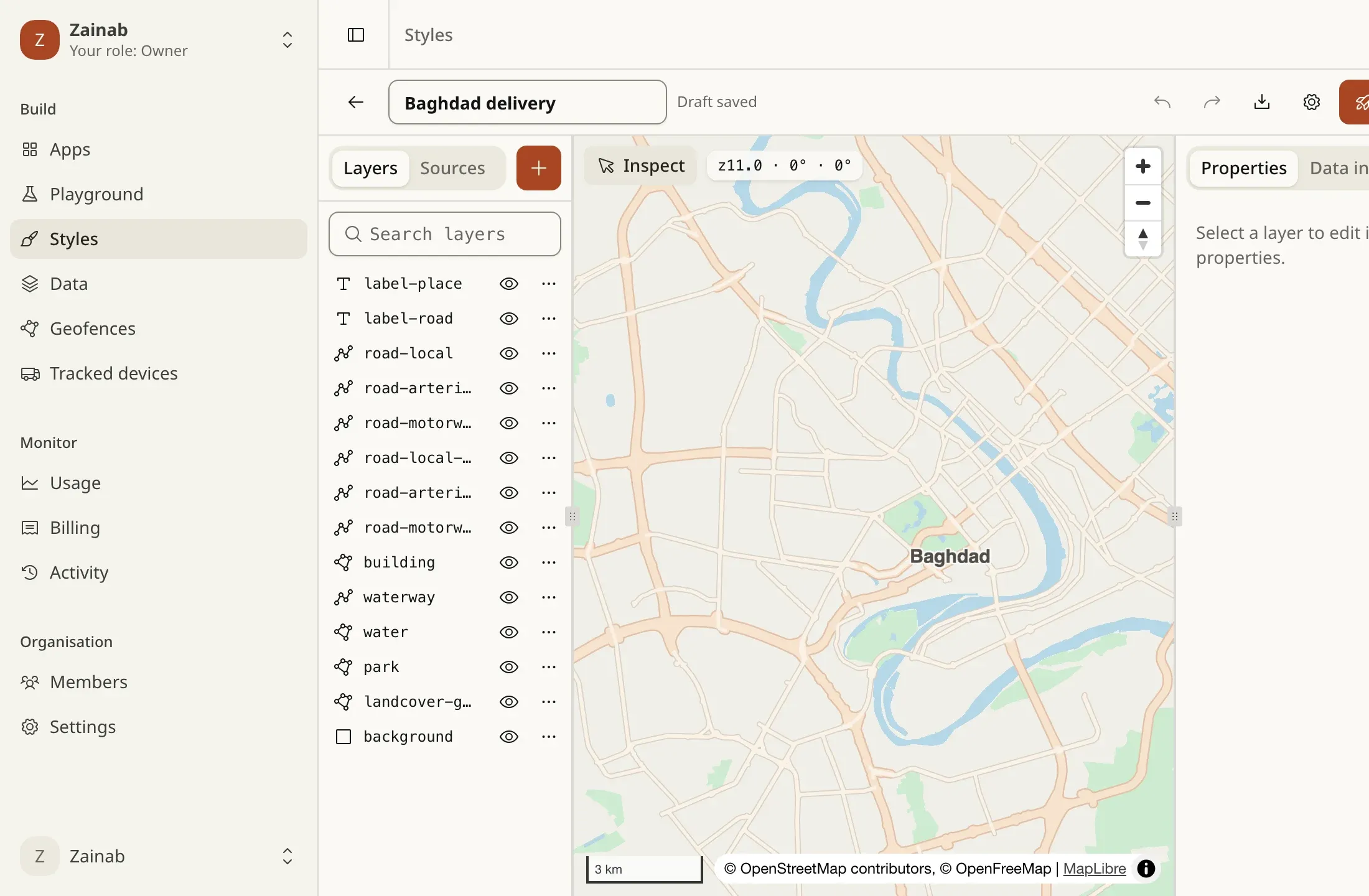
Change the twelve basemap colours, or edit a full MapLibre style in the Studio with templates, version history, publish and roll back. In development: it opens with the console.
GET /v1/styles/{handle}/{styleId}
The same basemap as raster tiles for Leaflet, OpenLayers, GIS tools and older apps. Each tile is billed as one request.
GET /v1/tiles/{theme}/{z}/{x}/{y}Upload a TTF, OTF or WOFF font and it becomes map glyphs; add PNG or SDF icons, or pick from a library of 45 CC0 icons. In development, with the console.
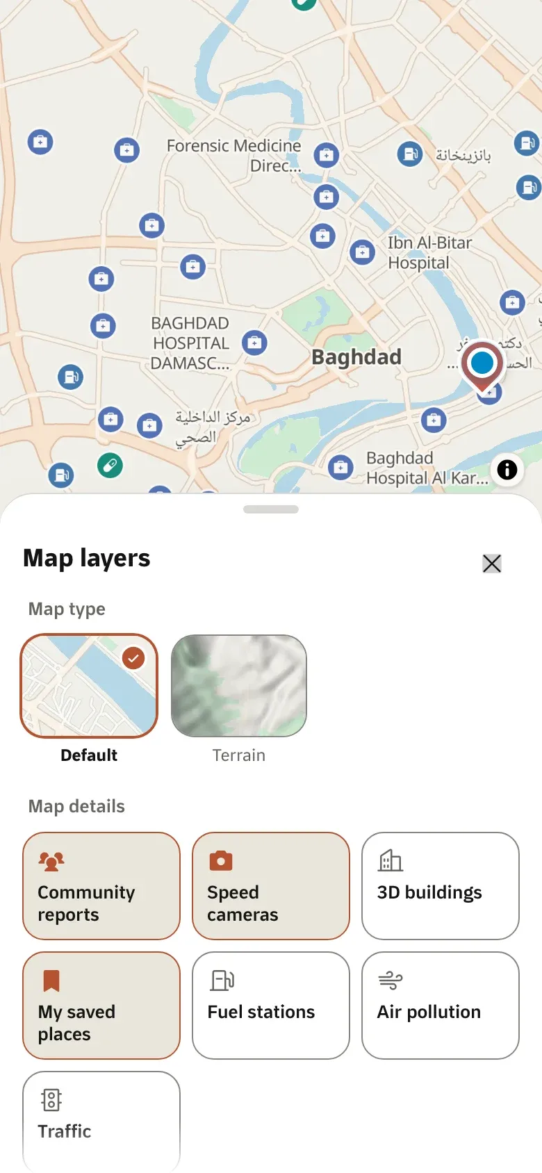
A satellite style is planned. Its imagery is not built yet, so there is no key for it.
Terrain from Copernicus elevation data is planned, for 3D maps and hillshading. The data is not built yet.
Offline packages of maps, search and routing per governorate, for mobile apps. Built and tested on devices, not available to customers yet.
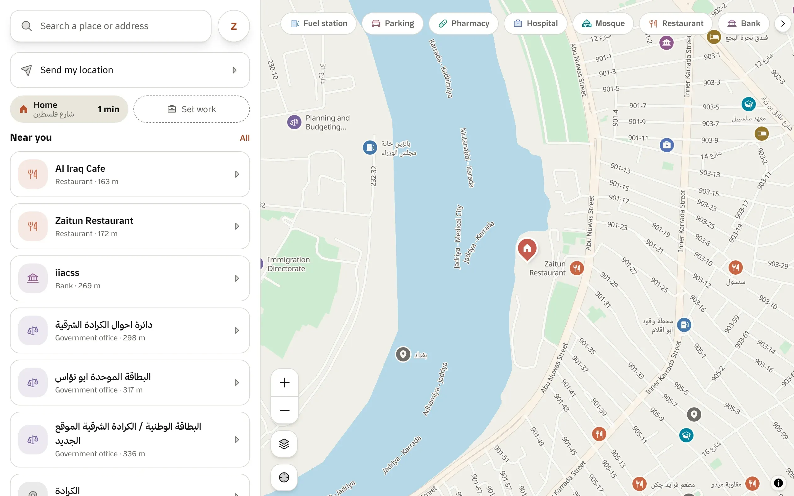
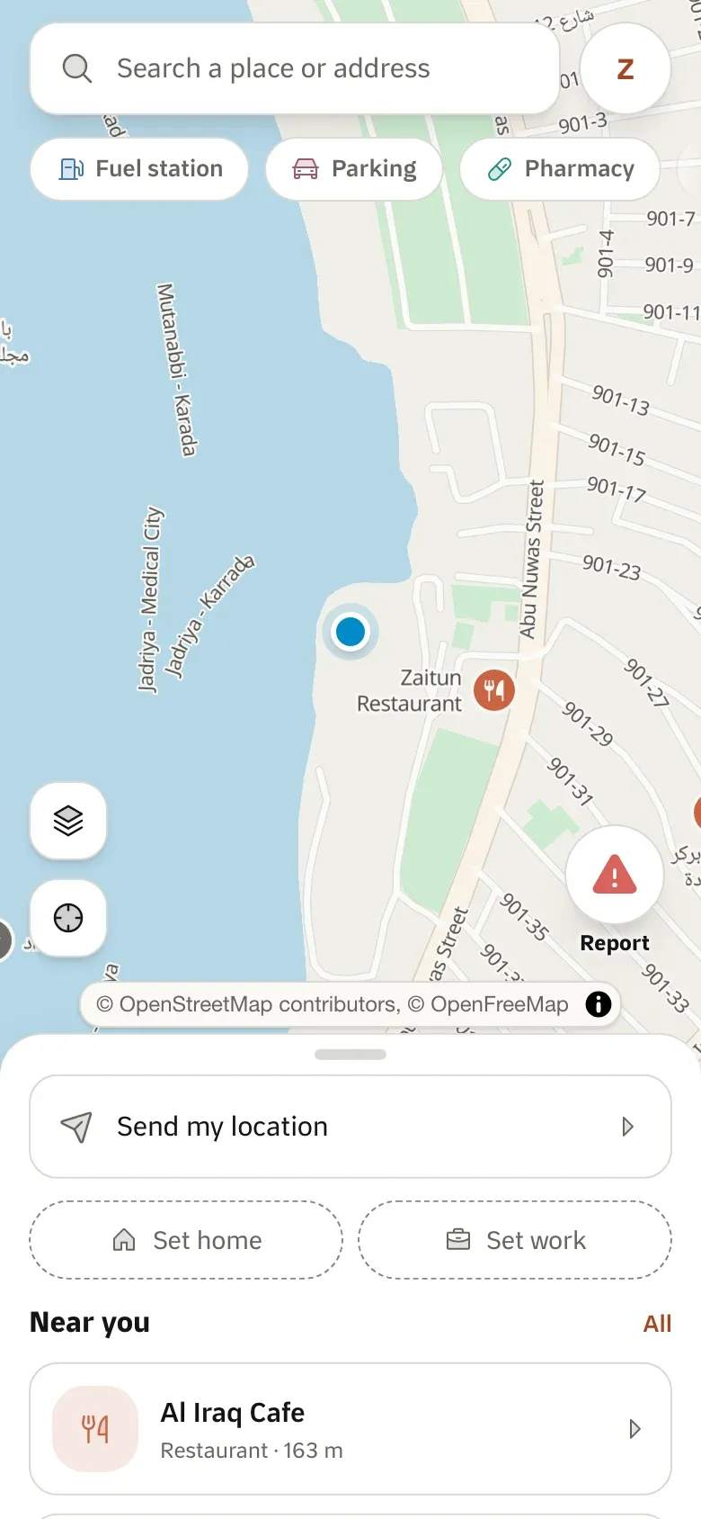
Tareky Maps uses these APIs every day. Every screen here is a screenshot of the app itself, refreshed from the running code.
Open Tareky Mapsimport maplibregl from 'maplibre-gl' // v6 shapes Arabic natively const map = new maplibregl.Map({ container: 'map', // one map load is billed here; the tiles are free style: `https://api.tareky.com/v1/styles/light?lang=ar&access_token=${pk}`, center: [44.3661, 33.3152], zoom: 12,}) map.on('click', async ({ lngLat }) => { const place = await fetch(`https://api.tareky.com/v1/locations/reverse-geocode ?lng=${lngLat.lng}&lat=${lngLat.lat}&access_token=${pk}`).then((r) => r.json())})Any MapLibre GL JS or MapLibre Native app takes the style URL directly. Leaflet and other raster clients use the raster tiles. Mapbox GL JS works with its RTL text plugin for Arabic.
Custom styles are in development: your colours, fonts and layers on our basemap, edited in the console’s Studio. Until then the light and dark styles are available.
Not yet. Satellite and terrain are planned, but their data is not built, so they are marked “Not available yet” and there is no key for them.
Tell us what you are building. During early access we issue keys by hand, and we email you once when yours are ready.
هذه الصفحة متوفرة بالعربية أيضًا.
اقرأها بالعربيةئەم پەڕەیە بە کوردیش هەیە.
بە کوردی بیخوێنەوە