
Early access
Transit trip planning
A trip between two points on the kia and abra lines: the walk to the boarding point, the line and its direction, where to get off, the fare and the time.
GET /v1/transit/plan/{points}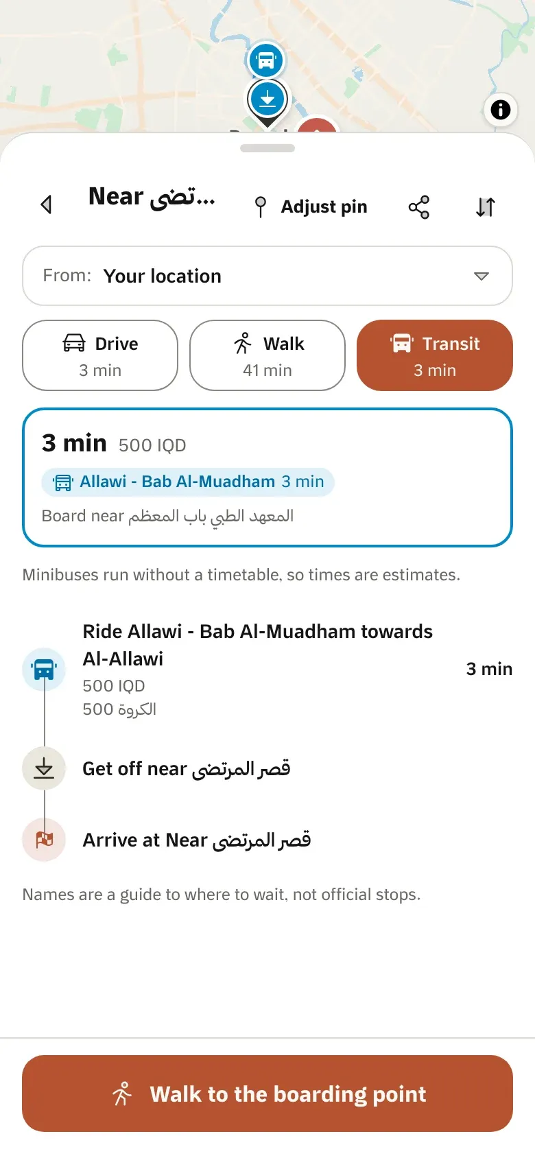
Transit
Baghdad’s minibus (kia) and river-crossing (abra) lines as an API: where to walk, where to board, which line to ride, where to get off and what it costs.
Thirty kia and abra lines across Baghdad, each with its fare.
A plan walks you to where a line passes, rides it, and walks you to the door.
Minibuses stop where people wave. Names are a guide to where to wait, not official stops.
A trip between two points on the kia and abra lines: the walk to the boarding point, the line and its direction, where to get off, the fare and the time.
GET /v1/transit/plan/{points}Our app shows these plans beside driving and walking, with the line on the map and each step in Arabic or English.
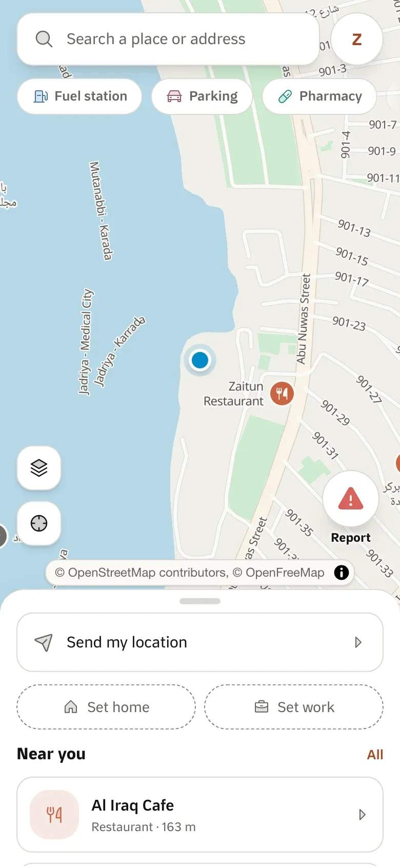
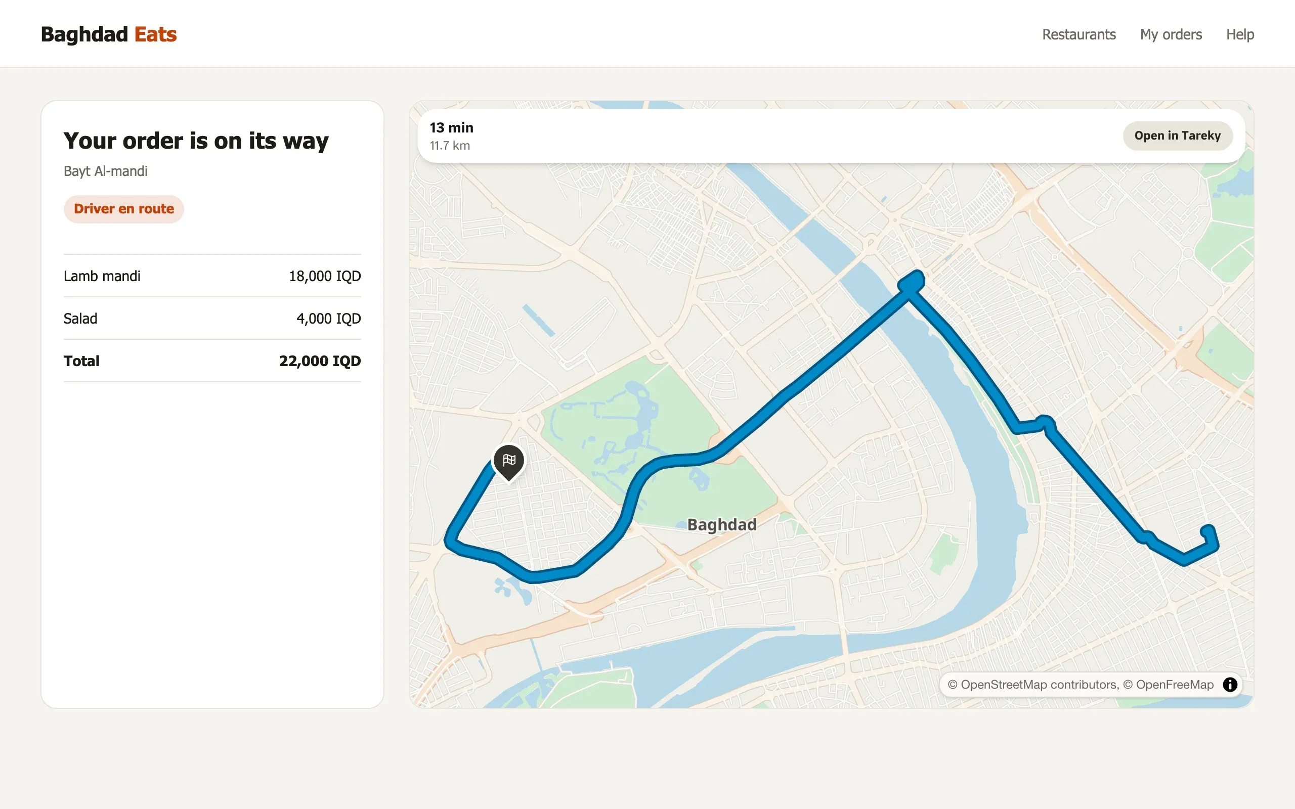
Tareky Maps uses these APIs every day. Every screen here is a screenshot of the app itself, refreshed from the running code.
Open Tareky MapsBy kia and abra
Walk, ride and walk plans on Baghdad’s minibus and river lines, with fares.
# Walk, ride a kia, walk: from Al-Mansour to Karradacurl -H "Authorization: Bearer $TAREKY_SECRET_KEY" \ "https://api.tareky.com/v1/transit/plan/44.3540,33.3185;44.4183,33.3049"No. Minibuses run without one, so times are estimates.
Baghdad today.
A transit plan is three units.
Tell us what you are building. During early access we issue keys by hand, and we email you once when yours are ready.
هذه الصفحة متوفرة بالعربية أيضًا.
اقرأها بالعربيةئەم پەڕەیە بە کوردیش هەیە.
بە کوردی بیخوێنەوە