
Travel & tourism
Help visitors find their way.
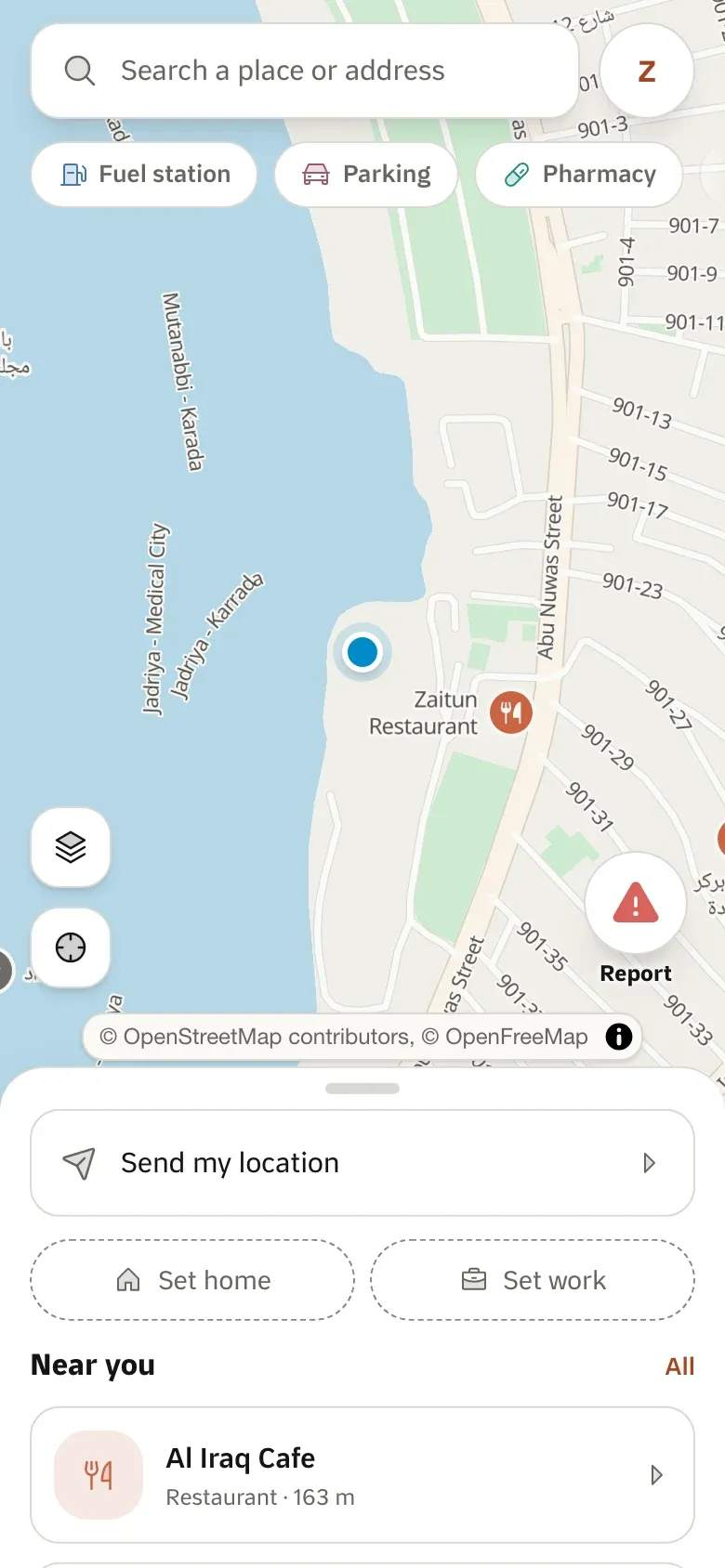
Show visitors the sights, hotels and restaurants around them, walking and transit routes between them, and maps in Arabic or English.
Two map languages
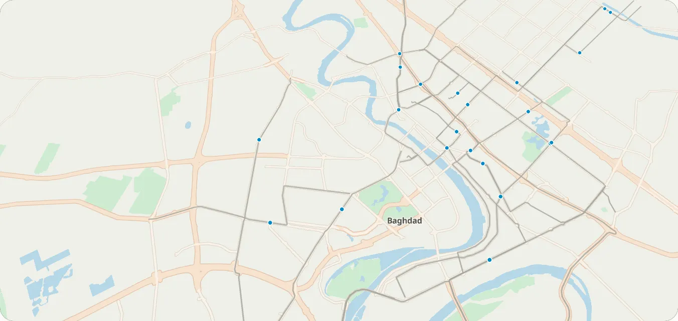
Maps in Arabic or English; place names in three where the data has them.
On foot and by kia
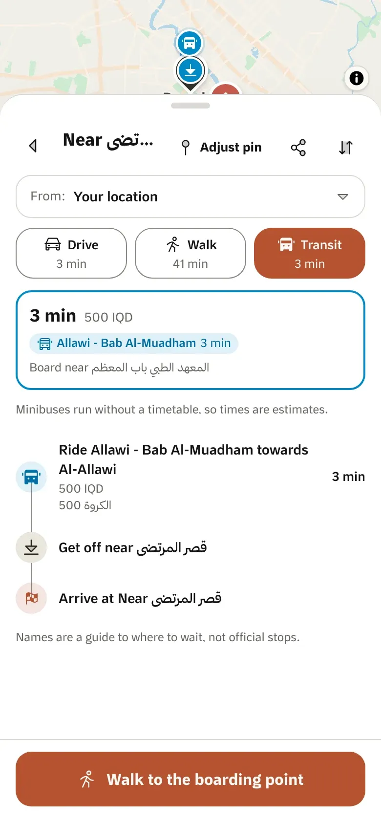
Walking directions and transit plans with fares.
Maps for itineraries
A map image of each stop, for a printed or shared plan.
Where its products stand
- 6 in early access
- 1 not available yet
Map settings
These are custom styles: your colours on our basemap.
What you can build
1 / 3
Find places
Search sights, hotels and restaurants
In Arabic or English, ranked near the visitor.
Search & geocodingEarly accessWhat is around me
Places near the visitor, by category.
Places nearbyEarly access
2 / 3
Get around
Walking routes
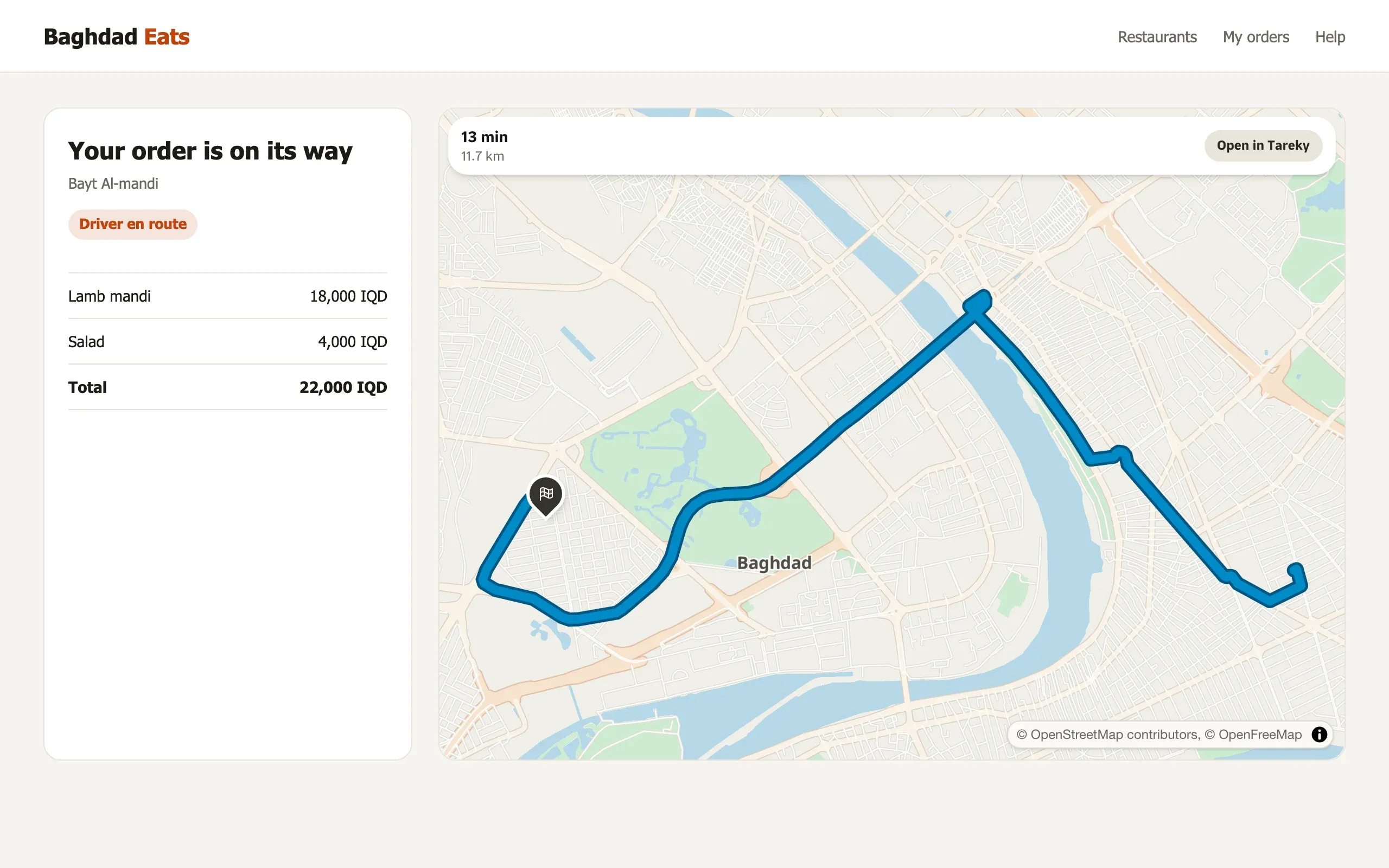
Routes on foot between sights, with times.
DirectionsEarly accessBy kia and abra
Baghdad’s minibus and river-crossing lines, with fares.
Transit trip planningEarly access
3 / 3
Plan the trip
A map for each stop
Map images for itineraries, emails and print.
Static mapsEarly accessThe best order for a day out
Up to 12 stops in the order that takes the least time.
Trip optimisationEarly accessMaps without a connection
Maps and directions that work offline, in mobile apps.
Offline mapsNot available yet
Example scenarios
Illustrations of how a team could use Tareky. They are not customer stories: we have none to tell yet.
A hotel concierge app
Restaurants nearby with walking times, in the guest’s language.
A pilgrimage operator
A day’s route between sites, printed with a map of each stop.
A city guide for Erbil
Sights on a map, with Kurdish names where the data has them.
Products in this solution
Questions
Which cities are covered?
The map, search and routing cover all of Iraq; transit is Baghdad today.
Can visitors use it offline?
Offline maps are built for mobile apps but not available to customers yet.
Build on Iraq’s own map.
Tell us what you are building. During early access we issue keys by hand, and we email you once when yours are ready.