
Real estate
Show buyers the neighbourhood, not just the house.
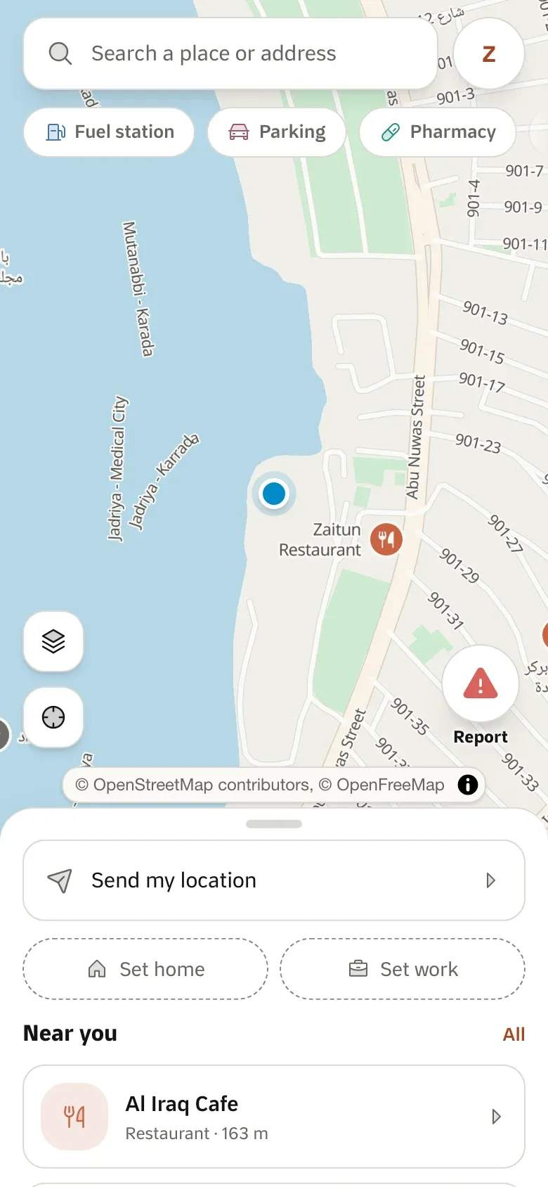
A listing sells on what is around it. Put every property on a map, show the schools, hospitals and markets nearby with real travel times, and keep your brand’s look.
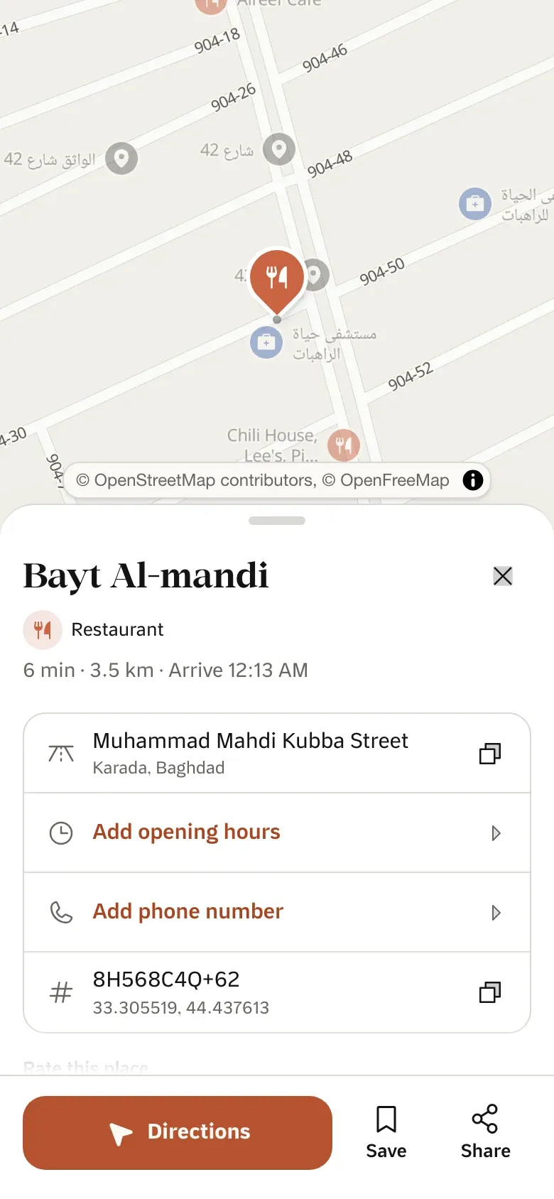
A map on every card
A small map image per listing, from one URL.
What is nearby
Places around the property, with driving and walking times.
Your look
Custom styles put your colours on our basemap.
Where its products stand
- 1 live
- 6 in early access
- 2 in development
Sample data
Map settings
These are custom styles: your colours on our basemap.
What you can build
1 / 3
Listing maps
A live map on the listing page
One script tag puts the property on a map on any page.
Embed widgetLiveA map on every listing card
A small map image per listing, cached like any image.
Static mapsEarly accessA full map search
Load our style in MapLibre and draw your listings on top.
Map stylesEarly access
2 / 3
What is nearby
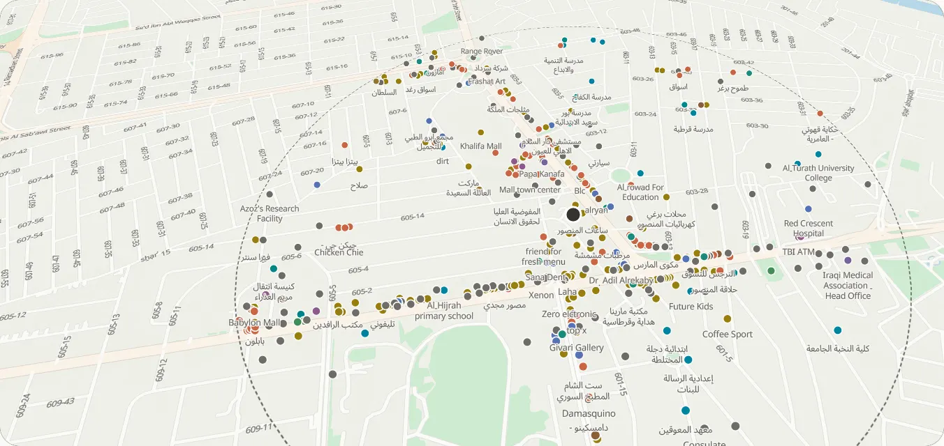
Schools, hospitals and markets around it
Places within a radius of the property, by category.
Places nearbyEarly accessCommute times
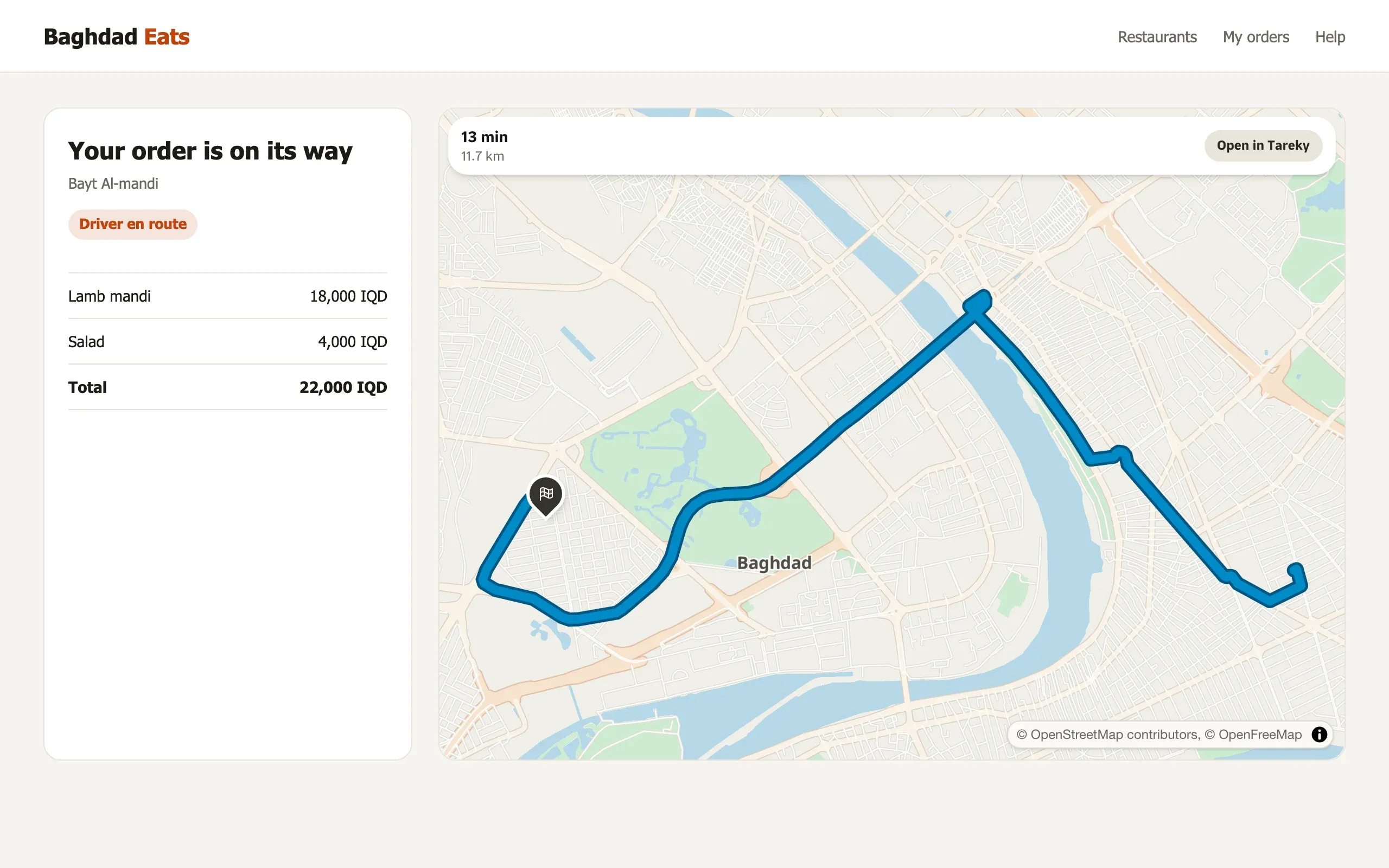
Driving and walking times from the property to the places that matter.
Travel-time matrixEarly accessBy kia
How to get there on Baghdad’s minibus lines, with the fare.
Transit trip planningEarly access
3 / 3
Your brand and your data
Your colours on the map
Twelve basemap colours, or a full style in the Studio.
Custom styles & StudioIn developmentYour own layers
Upload plots, projects or zones and draw them as layers.
TilesetsIn developmentSearch by area
Buyers search a district or a street by name.
Search & geocodingEarly access
Example scenarios
Illustrations of how a team could use Tareky. They are not customer stories: we have none to tell yet.
A listings portal
Every result card shows a small map, and every listing a map with the schools nearby.
A developer selling a new project
The project’s plots drawn as a layer, with commute times to the city centre.
An agency answering on WhatsApp
Each property goes out with a map image and the walking time to the nearest market.
Products in this solution
Questions
Can I draw my own plots?
Yes, as a tileset, once tilesets open with the console.
How are nearby places chosen?
From our places data, by category and distance from the property.
Build on Iraq’s own map.
Tell us what you are building. During early access we issue keys by hand, and we email you once when yours are ready.