
Telecom & utilities
Crews, assets and sites on one map.
Send field crews the right way to each site, draw your network as layers, and follow vehicles in and out of the areas you serve.
Your network as layers
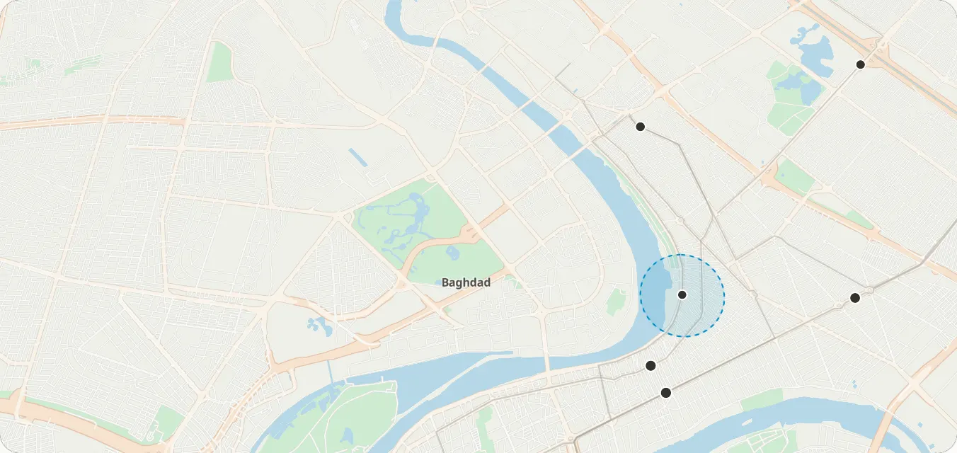
Towers, lines and service areas uploaded as tilesets.
Route the day
Up to 12 sites per crew, in the quickest order.
Clean tracks
Map matching turns noisy GPS into the roads actually driven.
Where its products stand
- 4 in early access
- 4 in development
Simulation
Map settings
These are custom styles: your colours on our basemap.
What you can build
1 / 3
Crews to sites
Find a site by name
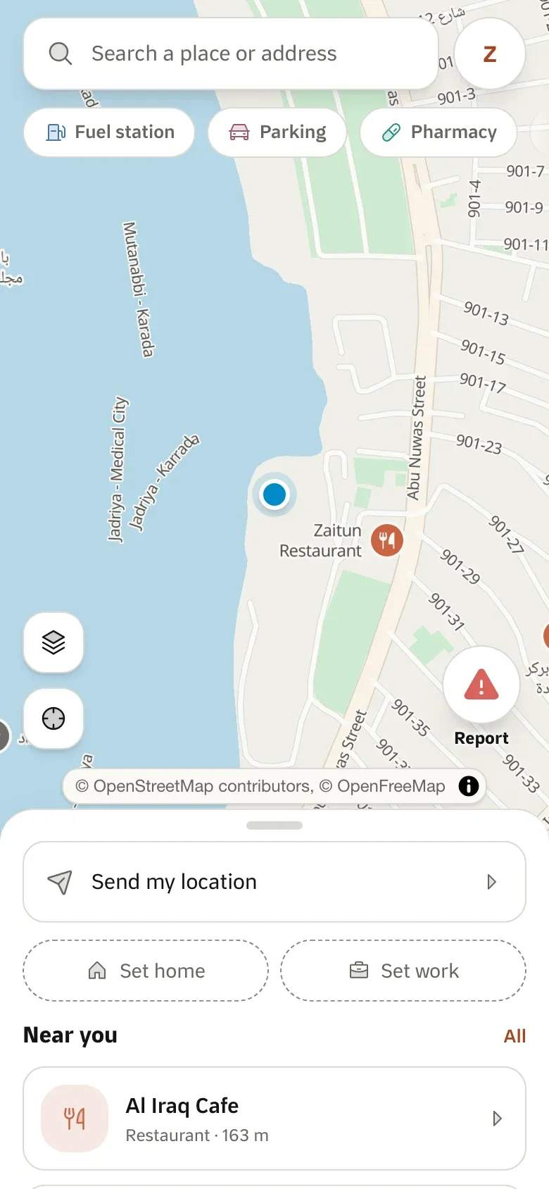
Search sites, streets and areas.
Search & geocodingEarly accessOrder the day’s visits
The quickest order for up to 12 sites.
Trip optimisationEarly accessRoute each visit
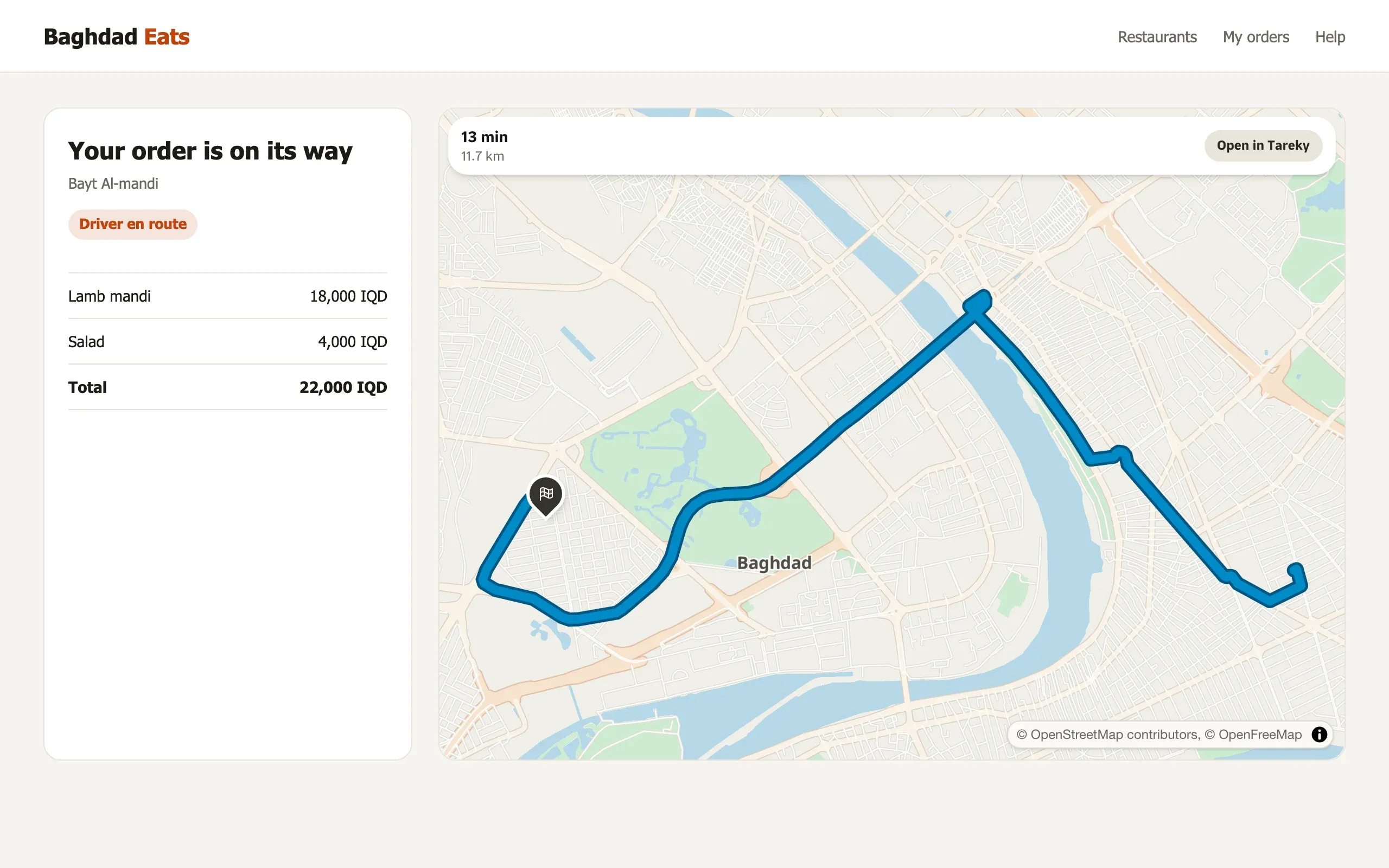
Driving directions with times and steps.
DirectionsEarly access
2 / 3
Assets on the map
Your network as layers
Towers, cables and service areas uploaded as map layers.
TilesetsIn developmentA map in your colours
Your layers on our basemap, styled in the Studio.
Custom styles & StudioIn development
3 / 3
Field tracking
Arrivals at sites
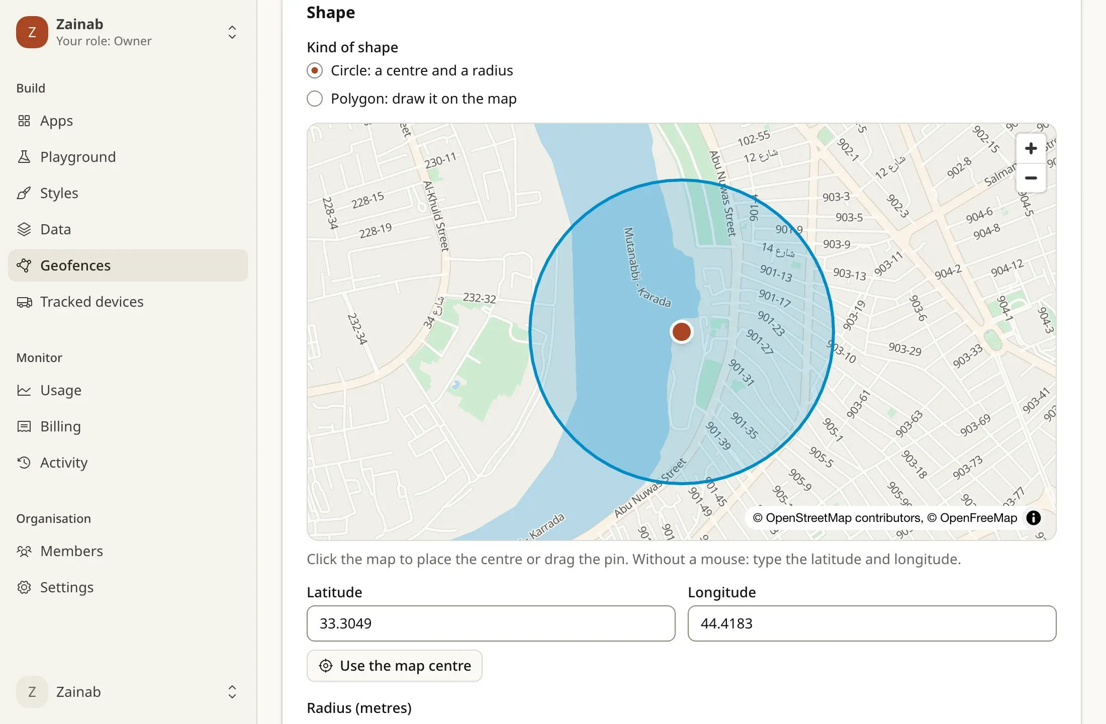
Enter and exit events when vehicles reach a site.
Geofences & devicesIn developmentMileage you can trust
GPS traces snapped to roads for distance and records.
Map matchingEarly accessInto your systems
Events delivered to your servers, signed.
WebhooksIn development
Example scenarios
Illustrations of how a team could use Tareky. They are not customer stories: we have none to tell yet.
A tower maintenance team
Each crew’s visits ordered every morning, and arrivals logged by themselves.
A power distributor
Feeders and transformers as layers, outages drawn as areas.
An internet provider’s installers
Customers found by landmark, and each crew’s route planned.
Products in this solution
Questions
Does our data stay private?
A tileset belongs to your organisation and is drawn only by your styles.
What is available now?
Search, routing, map matching and trip optimisation are in early access; tilesets, geofences and webhooks open with the console.
Build on Iraq’s own map.
Tell us what you are building. During early access we issue keys by hand, and we email you once when yours are ready.